Nancy and I have been trying to put together a trip to Europe for a few years now. World events have conspired to make it not happen - until now.
This trip was divided into two parts - and this post will be a two parter as well. First part is a bike trip in Spain (Pyrenees and Costa Brava) and the second part was hiking around Mount Blanc (or Monte Bianco if you are Italian) utilizing part of the Tour du Mount Blanc trails. We hiked stages 2-4 of the 11 official stages.
The Spain pics and words are here. This page will cover the section of our trip around Mount Blanc.
Tour du Mont Blanc
Day 1
Today we traveled from Barcelona to Switzerland to France. We flew via EasyJet from Barcelona to Geneva, Switzerland. In spite of this airline being on strike all went very smoothly - the flight was on time and our bags arrived. We found long term luggage storage at the train station and dumped everything except our backpacks there. It felt freeing to travel so light!
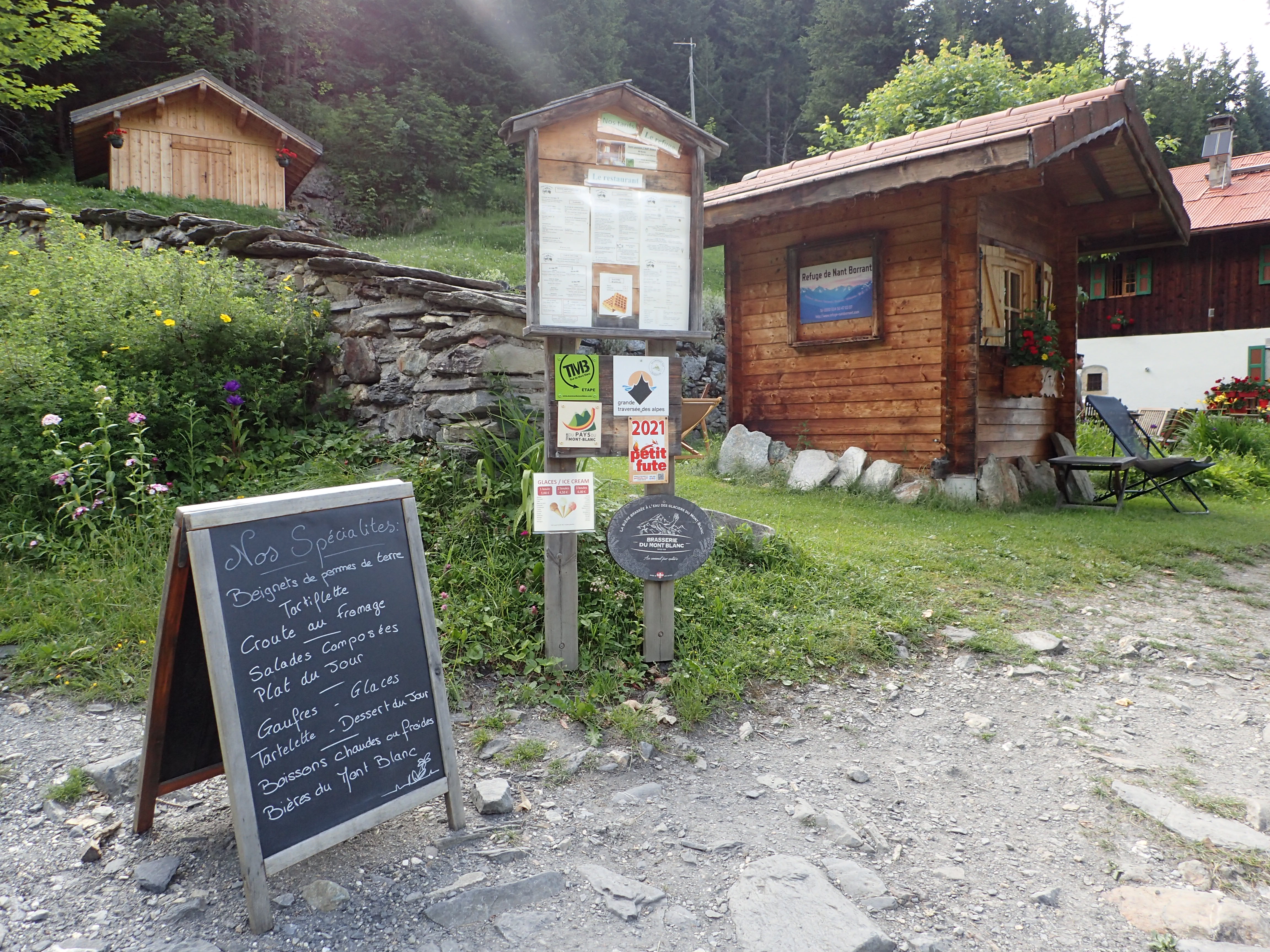
Next we needed to make our way to the staritng point of our hike –Les Contamines, a small village on the flank of Mont Blanc. Because our time was short and we didn't want to miss dinner at our first night's TMB lodge (called Refuges in France) we ended up taking a private shuttle from the airport. The driving took us further than Les Contamines up to Notre Dame de la Gorge - which was as far as we could go on pavement. This meant that rather than five miles from the village we only had a little over a mile. At least it was all uphill (a very steep and stoney one) to our first night's refuge - Nant Borrant. The path was on an old roman road - so not exactly singletrack. There was a stream running beside it (Le Bon Nant) that dug deep into the rock for some drama. The power of the stream crashing down the mountain through narrow chutes was awe inducing. You certainly do not, under any circumstance, want to fall in.
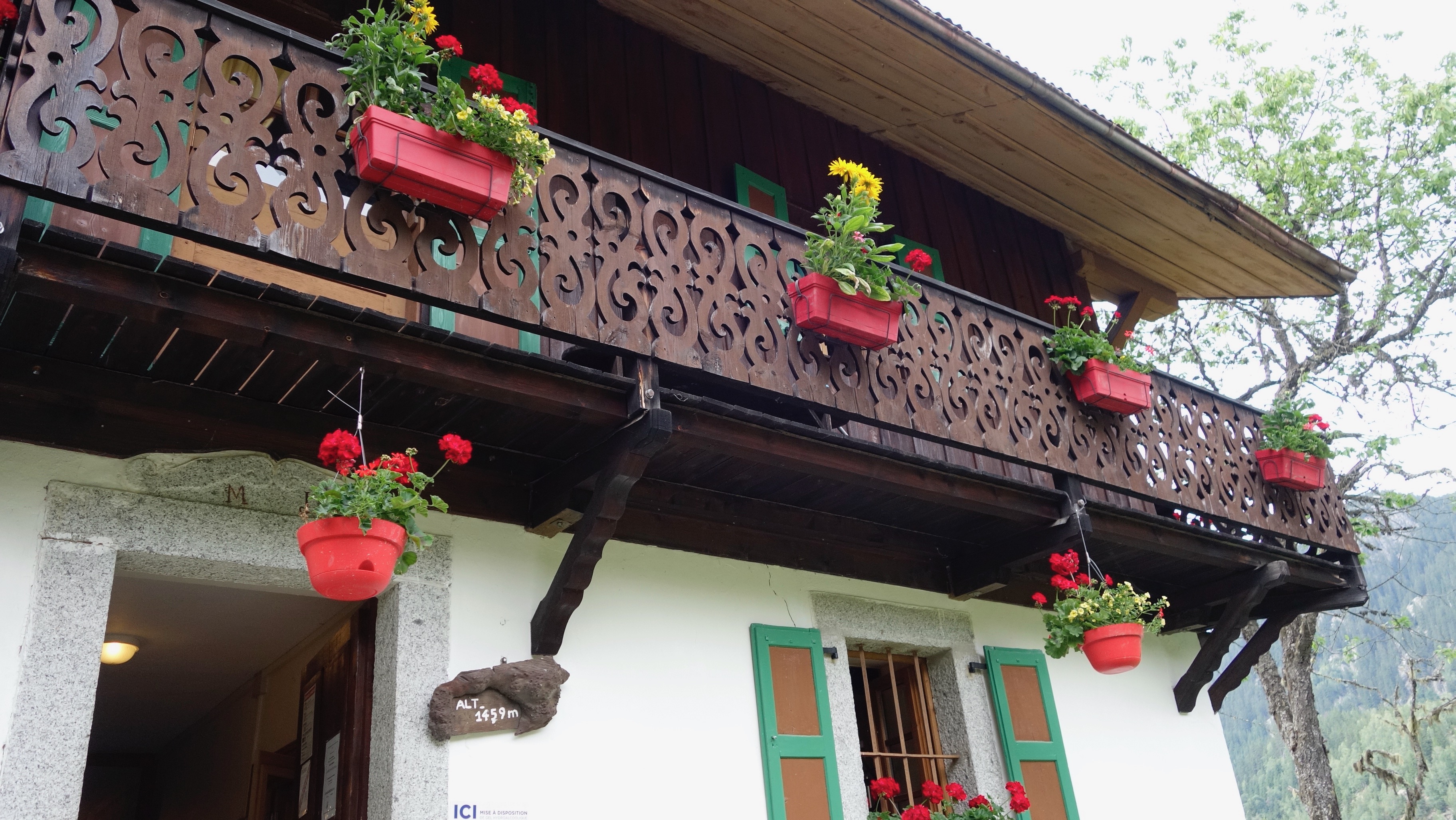
The refuge was one of those with a bunch of beds in a room (like most of them) - so you shared with other travelers. We were lucky to get a small room that only had beds for 3 - so they let us have it for just us two. For dinner and breakfast we shared a table with a couple of young women from Britain. They were doing the full tour - with support. In other words they had someone carrying their stuff from refuge to refuge - not an uncommon way to do this. Nancy and I went basic - we carried whatever we needed in our packs.
Notre-Dame de la Gorge
Not sure why the water is this color
This is where we start hiking
The road went up quickly
....and kept going up
Checking out the natural bridge down in the river
You can sorta see the river running under the natural bridge down there
Not a river you want to mess with
This river ran very strong - cutting deep into the rock
We are headed up there tomorrow
We saw a lot of similar water sources along the way
Home for tonight
Our room
Resting up after the grueling one mile hike
Nancy took lots of flower pics
1 mile, 800 feet of climbing
Day 2
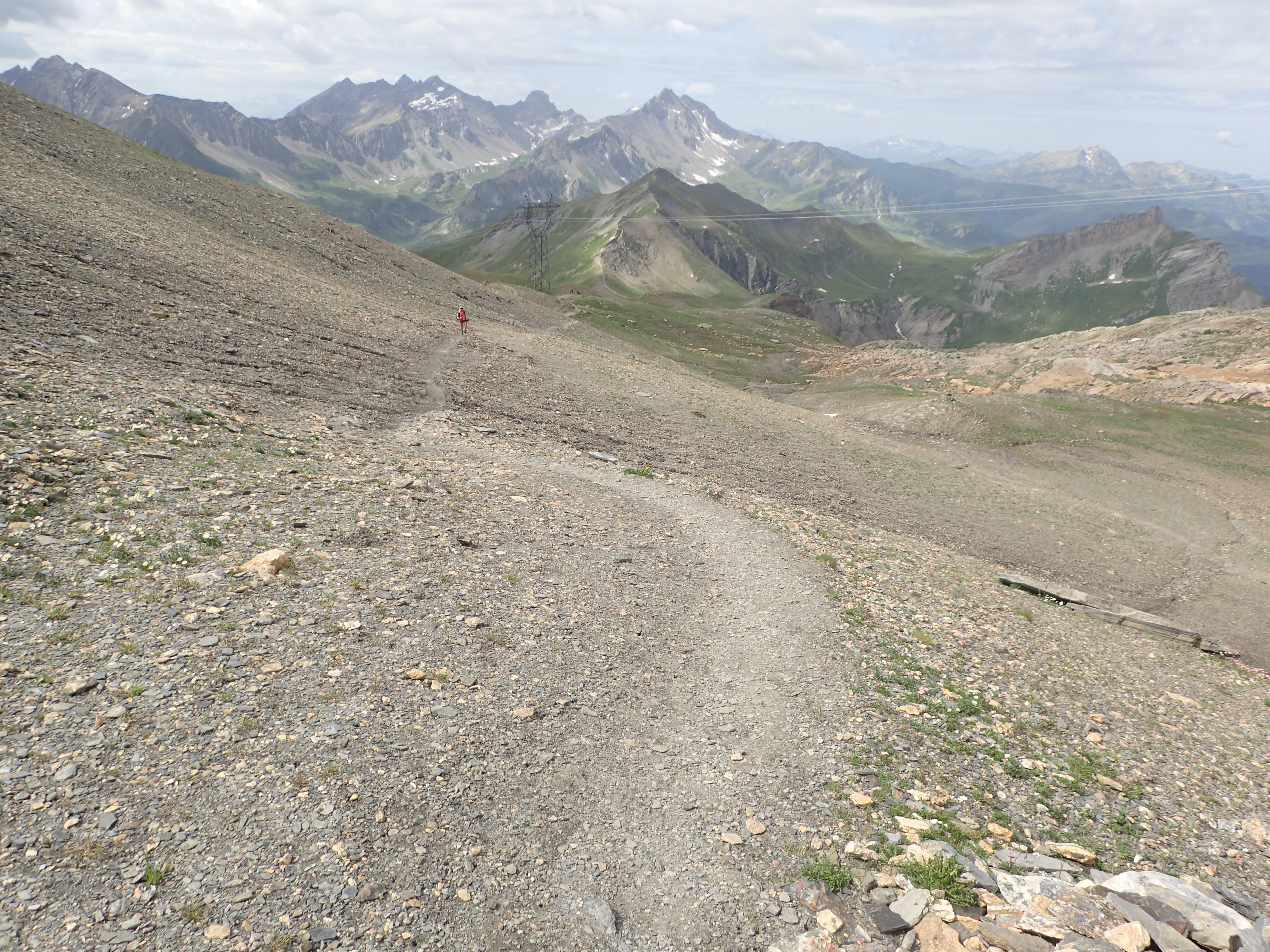
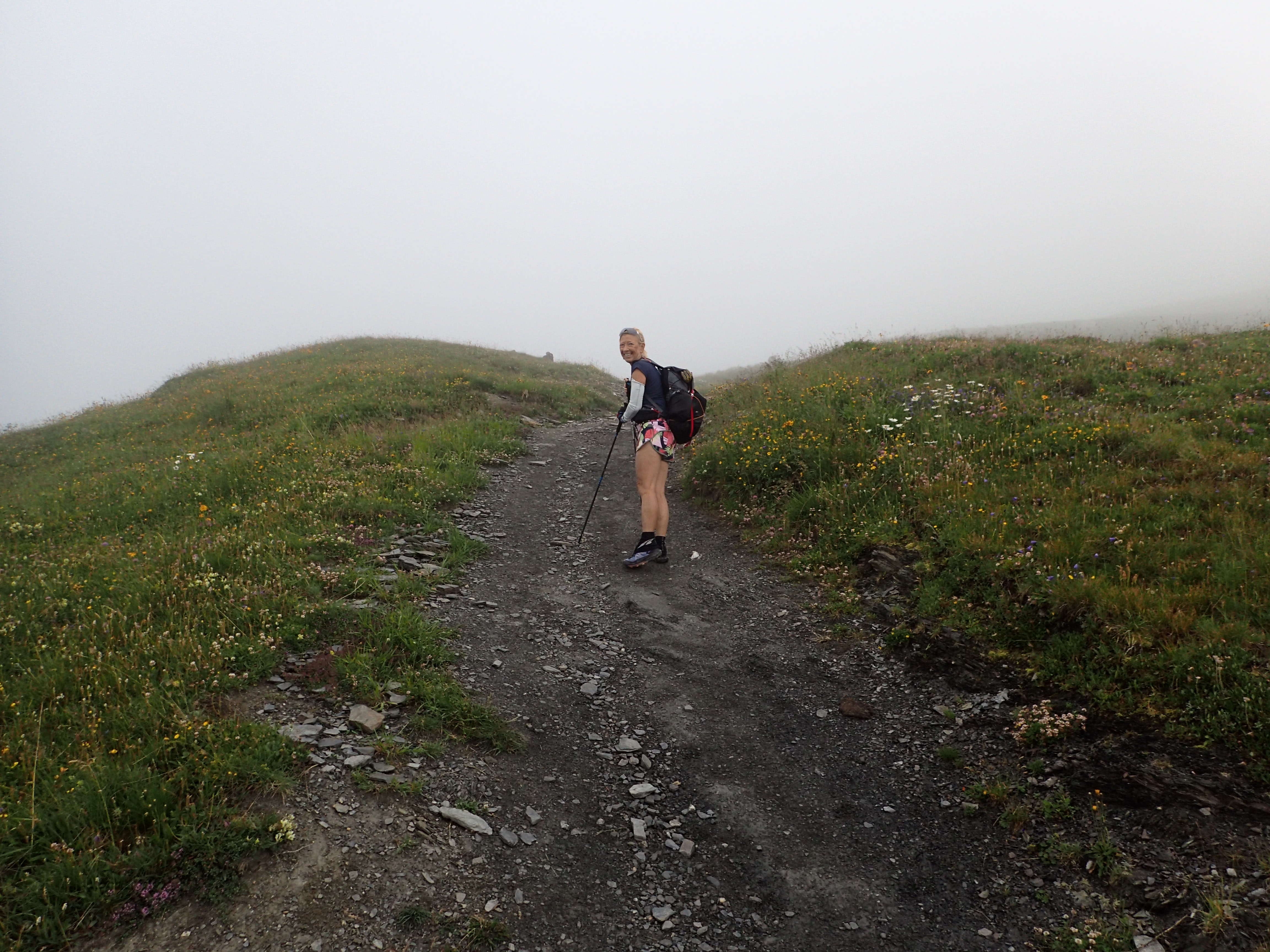
Today we'd do some real miles with big climbs. We would go over Col du Bonhomme to start. At the top of Col du Bonhomme the route goes down in a valley and around a big mountain. In the right season (when it is not snowbound), and if you are willing, that can be short cutted by going up and over Col des Fours - which we did. This of course required more climbing - but the views, oh the views.

Breakfast, plus pack lunches
The morning started with lots of clouds - added to the landscape drama
Same peak as above, without cloud cover
Looking back down the valley
Keep climbing
There was a very scenic camping spot near Refuge de la Balme
Apparently adding a rock to this cairn is good luck
Many flowers up here
much more snow!
And more flowers. They are everywhere.
Continuing to climb
Big ol' slab of granite up there
First pass of the day - Col du Bonhomme.
The standard TMB trail goes down there
However, we are going up here - to Col des Fours
You can see the main trail down there
Pictures don't capture it, but these views were breathtaking
Continuing up
Wonder who this guy was
We saw fewer people on this section of trail
Coffee stop??
Refuge du Col de la Croix du Bonhomme
We were too late for coffee, but still got some great views
Back on the trail toward Col des Fours
Definitely above tree line
No camping!
Looking into the next valley. Our destination is down there - somewhere.
.....and down we go.
We took a brief side trip to look over Lac de Mya
Getting a bit steep
Just had to stop and soak it all in once in a while
There was waterfall running sideways down this granite rock
What a place for a snack!
There are wild azaleas all over these hills
Little puff ball flowers
The creek created a snow tunnel
Looking like rain?
Yep, here comes the rain
We got rained on pretty good for about 30 minutes. Right as we reached shelter at the bottom (La Ville des Glaciers) of the valley the rain stopped.
Every cow we saw in France/Italy/Spain had a bell. So when there was a large group moving around you had lots of bells ringing I tried to get video of a group of cows on the other side of the valley to get the sound. It sorta came out.
Somewhere up the valley there is our place for the night
Pretty darned scenic place to spend the night
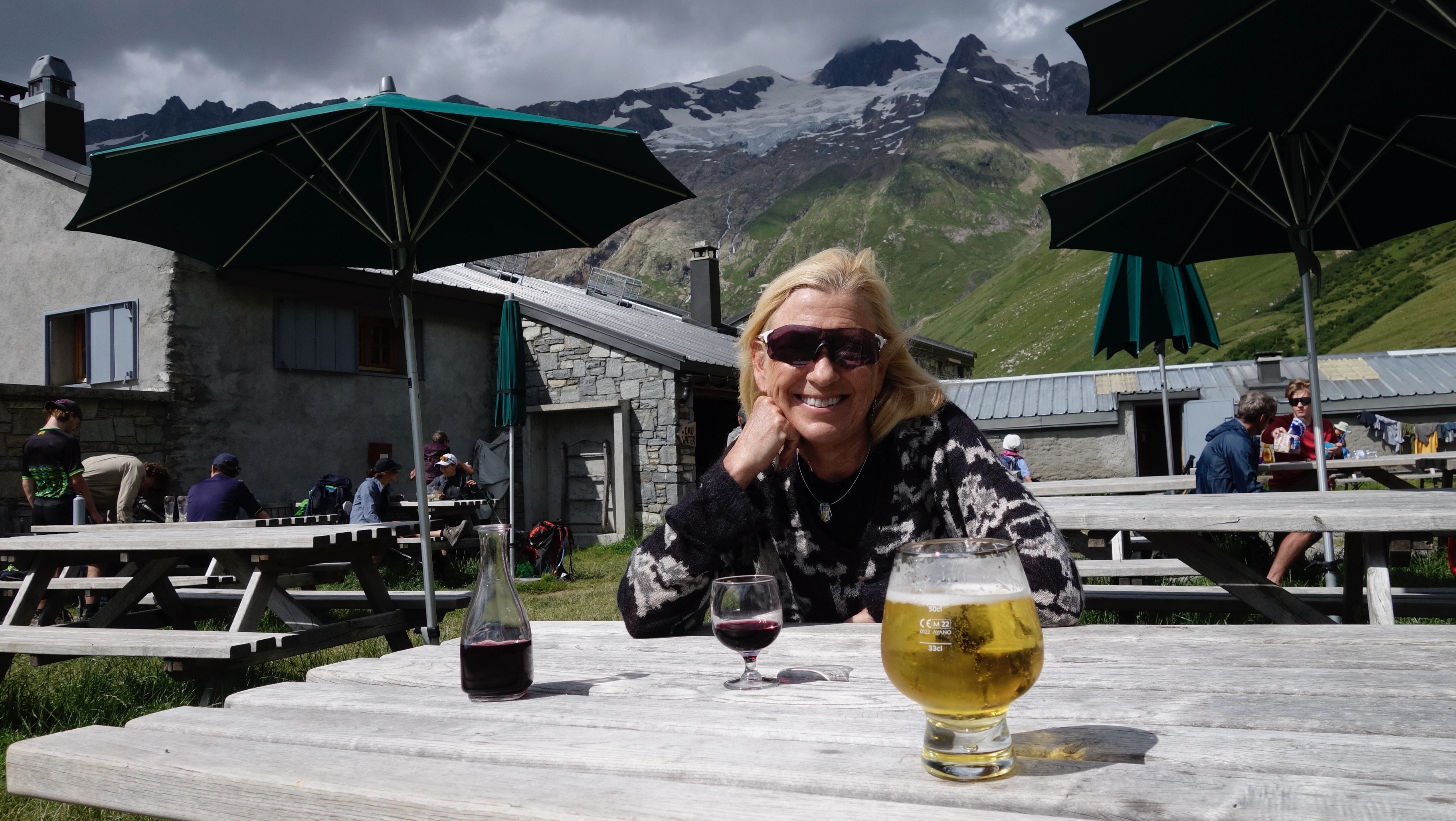
The usual post-hike libations
looking back down the valley
Local cheese
Alarm clock
This memorial behind the Refuge. It told the story of an American crew that was lost on Mont Blanc. Their plane was later found embedded in one of the glaciers.
Post dinner entertainment - hand cranked music player
11.5 miles, 5200 feet of climbing
Day 3
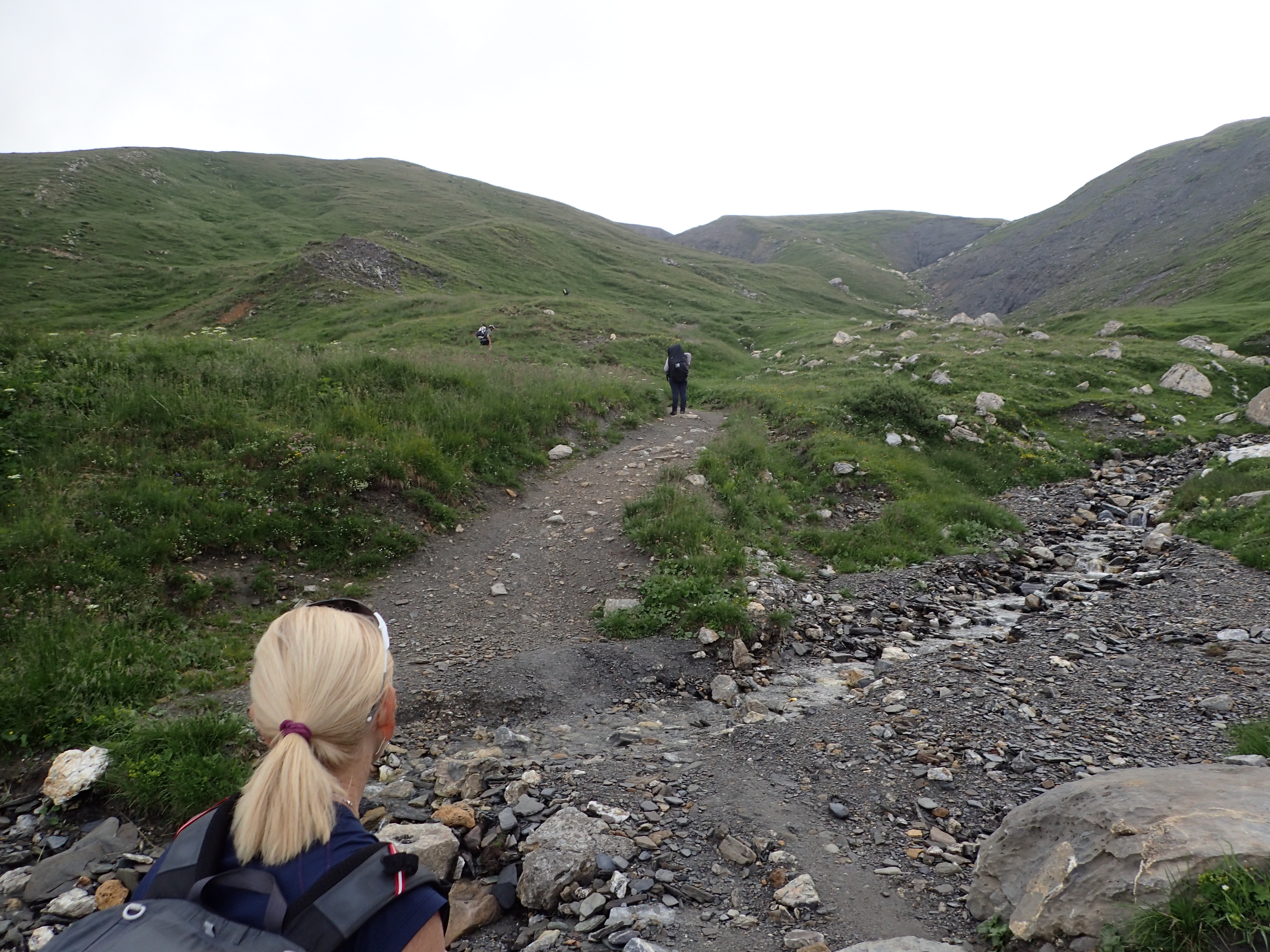
This would turn out to be the longest and toughest day. It included two big climbs. First to Col de la Seigne/Colle della Seigne. It has two names since it is on the France/Italy border. Surprisingly there are no passport checks there. After crossing into Italy and descending down to Val Veny we climbed up even further up on the mountain that is on the south side of the valley. This mountain ended at Entreves - which was our destination for the night. Unfortunately that meant another huge descent - or we could just ride the gondola into town. At that point I'm not sure I would have survived the hike down.
of course the morning started with climbing
Sheep!
Clouds moved in and out during the morning
Water is definitely not scarce here
Heading up there
Ibexes watching us from the next hill over
Col de la Seigne/Colle della Seigne
Old building above the Col
Nancy went up a bit higher for a better view
France/Italy Border
Looking toward Italy
Rare mountain bikes that were not electric
Heading down into Italy - toward Val Veny
Another snow tunnel
This little building had some environment info about the area
Heading down
The guy that worked in that little building had a cool commute
Snack break
Looking down from the Refugio
Down we go again
A rare piece of flat road
Looking back toward the Col/Colla
More sheep
Lunch time at Combal. Grilled Eggplant with Goats Cheese. Good stuff.
We could tell we were getting closer to civilization since Combal was pretty busy. Lots of day trippers since this is easily accessed by a paved road that runs up Val Veny. There are some very blue lakes (and one gray lake) above the Combal Hut which we, of course, had to climb up to see.
These two should be one lake, but water levels are low. Due, sadly, to shrinking glaciers.
Combal, from up near the lakes
Another sign that we were near a tourist area was the solar powered e-bike recharging station. Ride your e-bike up here, plug it in, go have lunch at Combal and ride back down the valley. Sadly, about 90% of the bikes we saw in this area were electric.
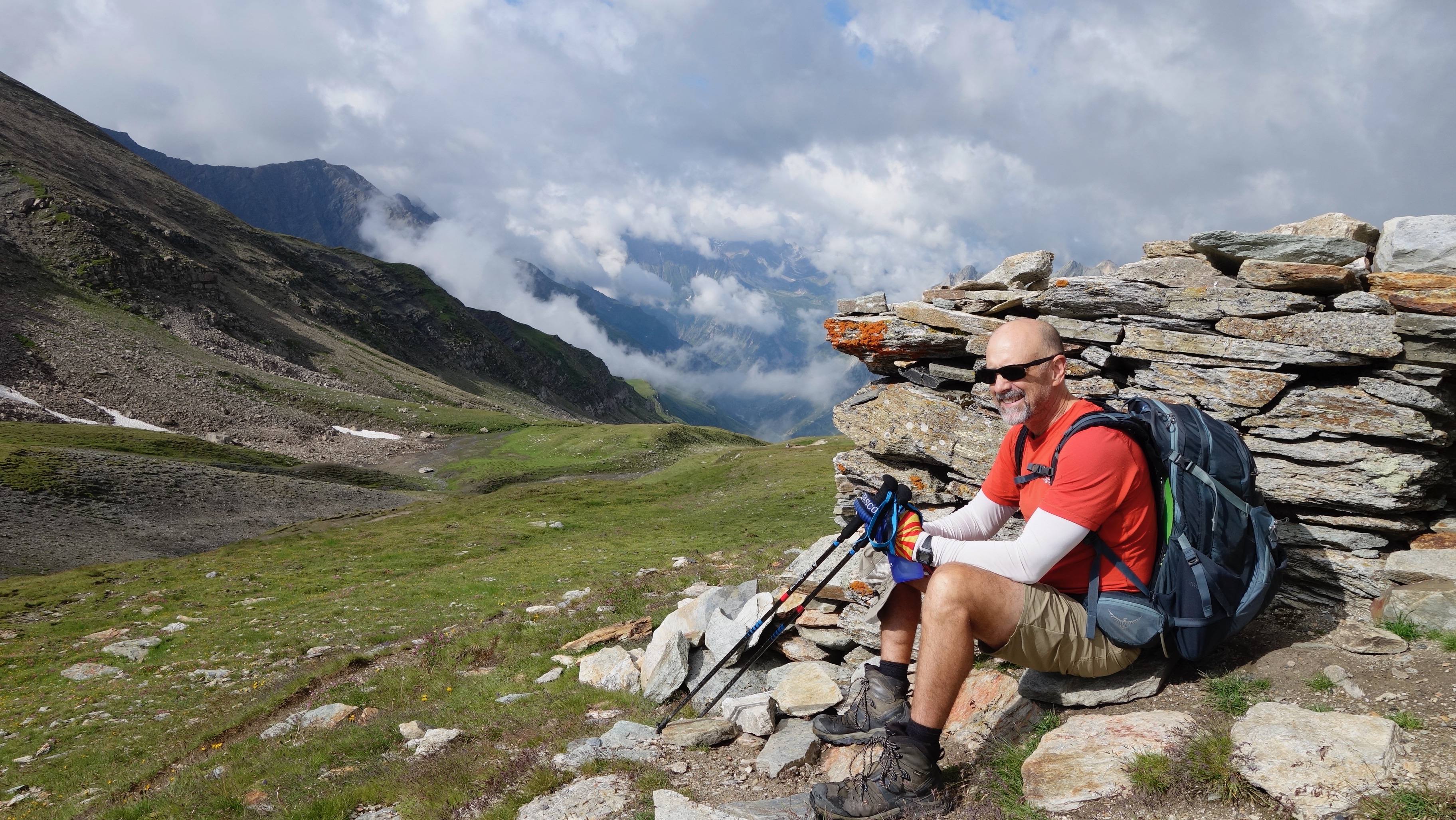
At this point we had an option. We could continue down the valley to Entreves (and our room for the night) or head up the trail for a massive climb up the other side of the valley. Of course we did the climb. Later I read that going down the valley was pretty miserable - basically walking down a road. Lots of traffic and people. The climb, on the other hand, offered amazing views of Mt. Blanc. So, worth it.
Heading up, again
Looking back down at Combal. I mean, just look at that.
Would have been a nice place for a house. Blanc is hiding in the clouds. We could hear thunder.
I could get used to this
We passed by a spot where a bunch of people were chilling
Continuing up
The trail just keeps winding up
Monte Bianco would hide in the clouds the rest of our hike that day
A bit of downhill, but not for long
Multi-use trail
and up some more...
Great sign. The recommended fast route down?
Heading down for a bit
Rifugio Maison Vieille
When we reached this Rifugio, there were a whole lot of people since we were not far from Courmayeur. However, our destination was Entreves, which is a small village a little north of Courmayeur. At this point we were over 13 miles into the day and my dogs were barking loudly. We still had about 2 miles to the Val Veny ski lift - which would take us into Entreves. If that was not operating we'd have to do another 2+ miles of steep downhill to get there - at which point I'd just fling myself off the mountain.
Uninspiring dirt road to end the day
Thankfully the lift was operating
Down there is our destination for the day
Stick a fork in me
We'll be taking that gondola up and over Monte Bianco in a couple days
We still had about 1/2 mile walk to our home for the night - through a very pleasant village
Bonus for the day was getting a room upgrade. Part of that was a big window with a view of the mountains - very nice.
Happy hour
Bread cooler
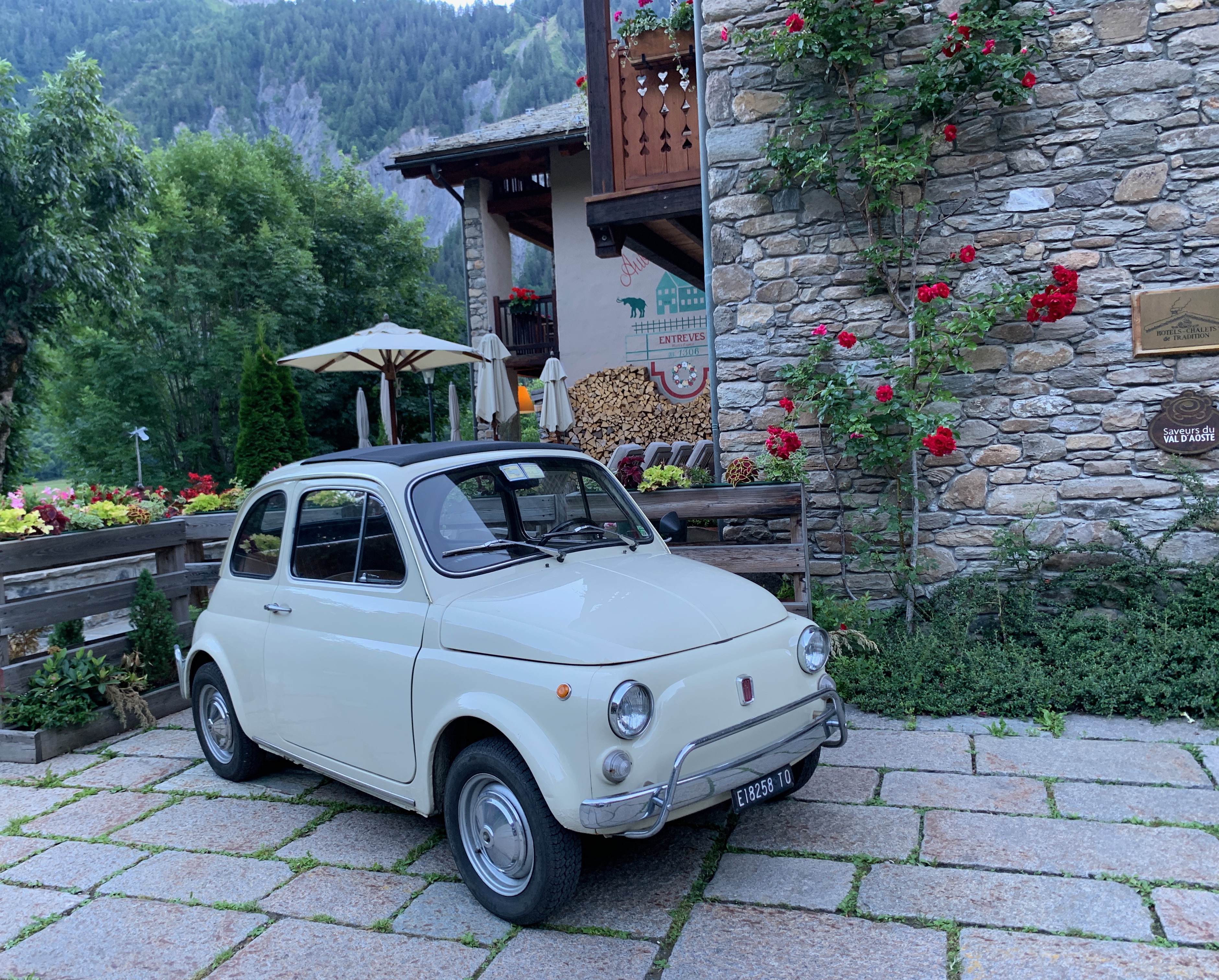
A REAL Fiat 500
evening light on the mountain
Hiking - 15.6 miles, 5000 feet of climbing
Gondola - .8 miles, 2000 feet of descent
Day 4
Much needed rest day. We mostly spent wandering around
Courmayeur.
Ironically we went here especially for the pizza
Obligatory coffee break
Day 5
Original schedule was to take the various gondolas OVER Mount Blanc to the French side and hike the Grand Balcon Sud trail to
Montenvers. From there we could hike out to one of the glaciers and visit an ice cave. Unfortunately the hotel booted us (and some other folks) out. Apparently they needed the rooms for someone else. They offered us a place down in the valley (Chamonix) for free - which was nice, but messed up our hike plans. We adjusted.
First part of the journey would be in this
This pooch got on the gondola with us. Cool muzzle.
What a setting for a garden
Back on the gondola we went up to the next station - the last one on the Italy side. After this we'd take a really small (4 people max) gondola over to a station on the France side.
One last look at the garden
You can see hikers down there on the glacier
Looking back down at Courmayeur/Entreves
More hikers out there
Pretty chilly up here
Would be cool to go for a hike down there. Next time.
for $100 you could have lunch over the glacier - with a glass floor
Not for the claustrophobic or those afraid of heights
But you get excellent views of the glaciers up top
You can see tents at the base of the rock. That's some cold camping.
The station on the French side was a bit more expansive
Looking down into Chamonix
Mont Blanc with a little cloud hat
That really is a knife edge of snow they are hiking on
There are climbers near the snow in the middle right of this pic
Some sharp peaks
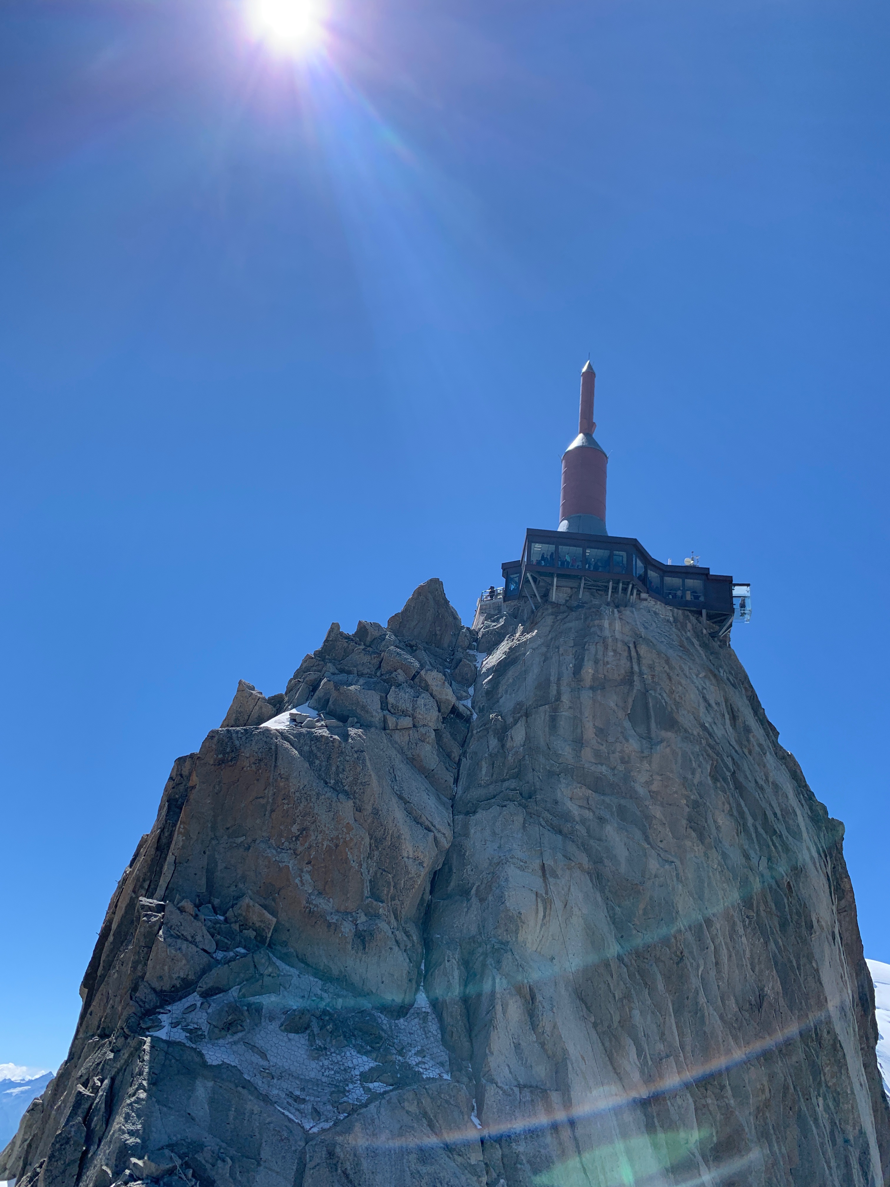
an elevator went up through the rock to get to the top
Nancy getting high
As close to the top of Blanc as we'll ever get. [Nancy: "This trip"]
....and yet another gondola to get halfway down the mountain.
We stopped halfway down the north side of the mountain in order to take the balcony trail over to Montenvers.
A snack before heading out
Hiking again
We had lunch at Montenvers. Most folks get here via the train - so it was pretty crowded. We actually were too late for lunch and had to make due with wild mountain blueberry tart and various cheeses - not suffering. Unfortunately lunch made us miss the last gondola down to the Ice Cave. Had we been able to stay the night here, as originally planned, we'd have been able to see that the next day - and do a hike out on the glacier. As it was, we still needed to make it into Chamonix to our hotel that day. That was another 4 mile hike down the mountain.
....and there is the train.
Hiking down to Chamonix
Mont Blanc from the French side of the mountain
Hiking - 9.5 miles, 600 feet of climbing, 4800 feet of descent
Gondola - 9 miles, 9100 feet of climbing, 5700 feet of descent
Day 6
After Chamonix we headed over to a smaller/quieter town -
Megeve. A local bus did the trick to get us there. Since Nancy likes to torture me, we did a long hike up a steep path to get to a gondola that would take us to Mont d'Arbois - and some nice views of the surrounding area.
Pretty good veggie crepes.
VTT = Velo Tout-terrain = mountain bike
Of course we had to play on the mini zip line
Megeve
Obligatory stroll through town
bus to Geneva airport
The time in this area was amazing. The scenery, like in the Grand Canyon, can simply not be captured by pictures. We enjoyed the hiking around part of the mountain, but I have found out that there is a bikepacking route. I would be totally on board for this: https://bikepacking.com/routes/tour-du-mont-blanc/


Wow!!! What a great adventure!! AND the pictures are amazing!!!
ReplyDelete