
In early April 2020 Nancy and I had planned to do a 3 day trip in the Grand Canyon, down to the river on Tanner, across to Hance (or there abouts), then up New Hance. Unfortunately, the closure of the canyon for Covid made that a non-starter. Fast forward to early 2021 and we decided to give it another try. We corralled my niece Aislynn (Ash) and one of her friends to come along. Unfortunately Ash's friend broke her ankle before the trip, so it was just the three of us.
Ash has been very busy this year and has been spending a bunch of time doing the #vanlife thing. She met up with us at Mather campground at the canyon the night before the hike.
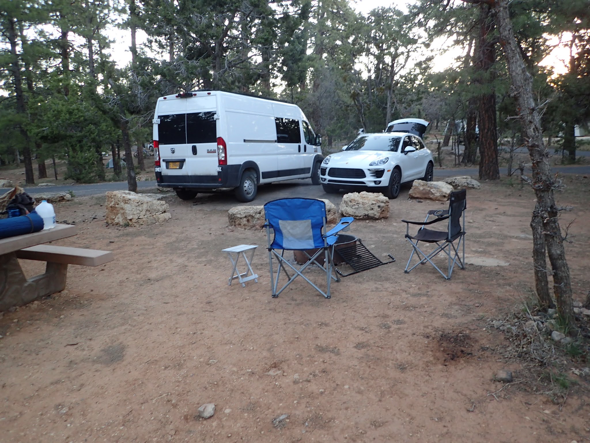
Pretty tight parking, but it worked

Breakfast at Ash's Tea House

First look at where we are going

and so it begins..


We'll be heading down and around that hill in the middle

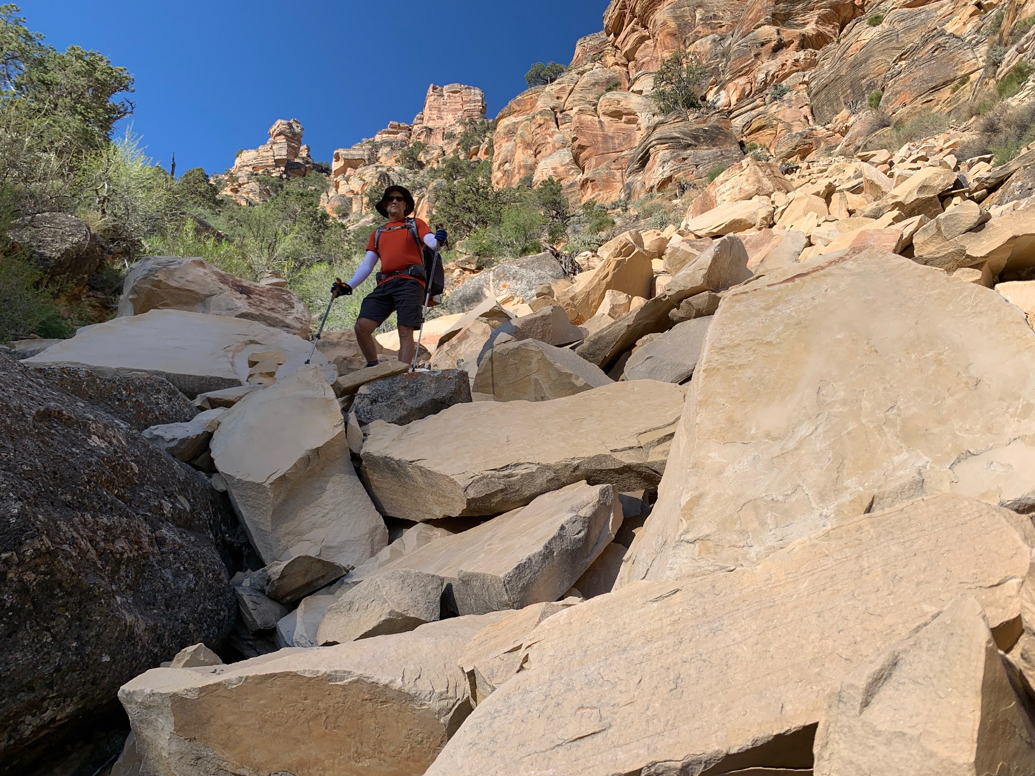
A little rocky, but not too bad


Some handy steps
What the park service means by "unmaintained" trail


ooh, look at that view

this is the view

There was nice trail mixed in with the chunkier stuff
In the picture below you can see the Desert View Watchtower (top, middle) on the rim It is just a little stick in the picture, but we could see it almost the entire way down that first day.

We've come a long way

break time

you can just see the river

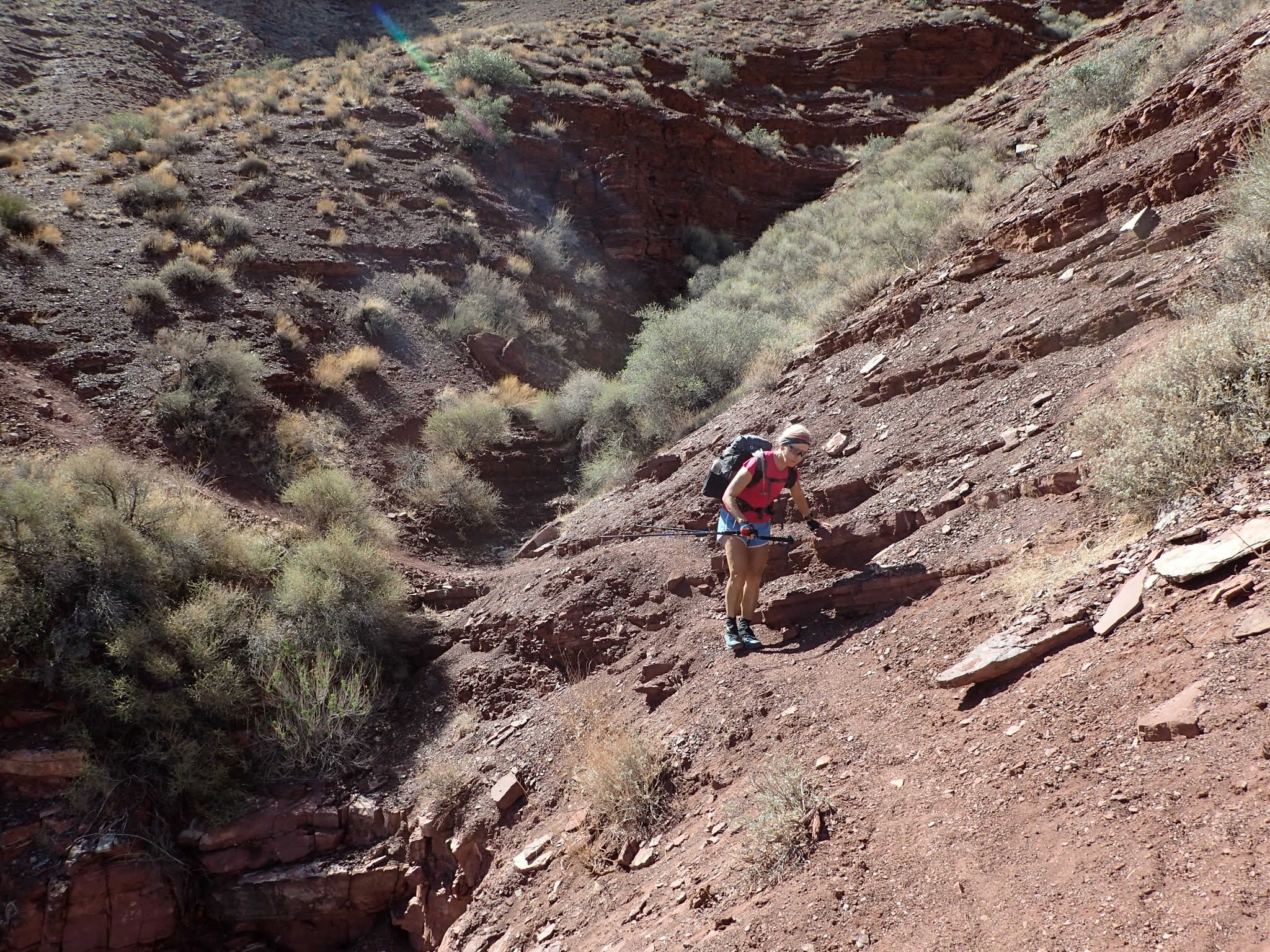
Down we go on a particularly rocky/steep section

The river beckons

We are headed down there

Let's go that way

This was rocky and steep - but fun


Some hoodoo like things near the bottom of that descent

the terrain constantly changes


Our home for the night is down there by the river


Watch your step, it is a long tumble down

We've come a longggg way

A cozy home for the night

View out from our new home
First day's hike was 7.5 miles with about 5000 feet of descent.


Our private beach
After we we settled in we decided to go have a look at Tanner rapids. On the way there we ran into a guy from the group we had passed on the way down. His group had gone to another area (Tanner beach is a large area) and came upon two people who had been part of a larger group. One of those two was a 77 year old man who was having issues from the heat. They asked if we had a satellite phone. Of course we didn't. They had a Spot that allowed texts - so they had contacted the rangers who said he should just sit tight and hike out when it was cooler. They were not willing to wait so they kept contacting the rangers until someone sent a helicopter. Those two got a free ride out.
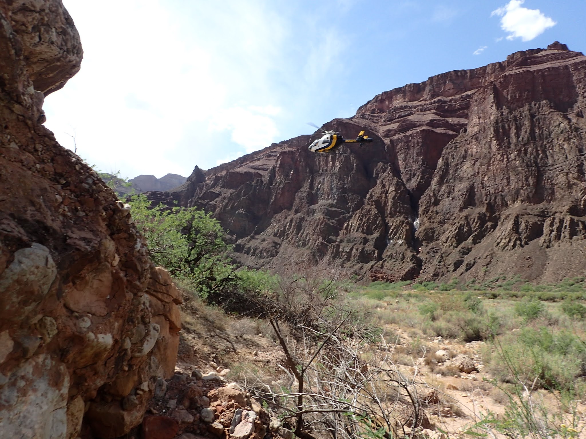
Chopper incoming

One of the powered boat trips running Tanner rapids

Ash watching the boat go down

This looked far less interesting than going down on a paddle boat

An awesome spot to relax in

Happy hour with some rosé - chilled by the VERY cold river water

Yummy - Pad Thai

Ash slept near the rocks - Nancy and I were just below
 morning time
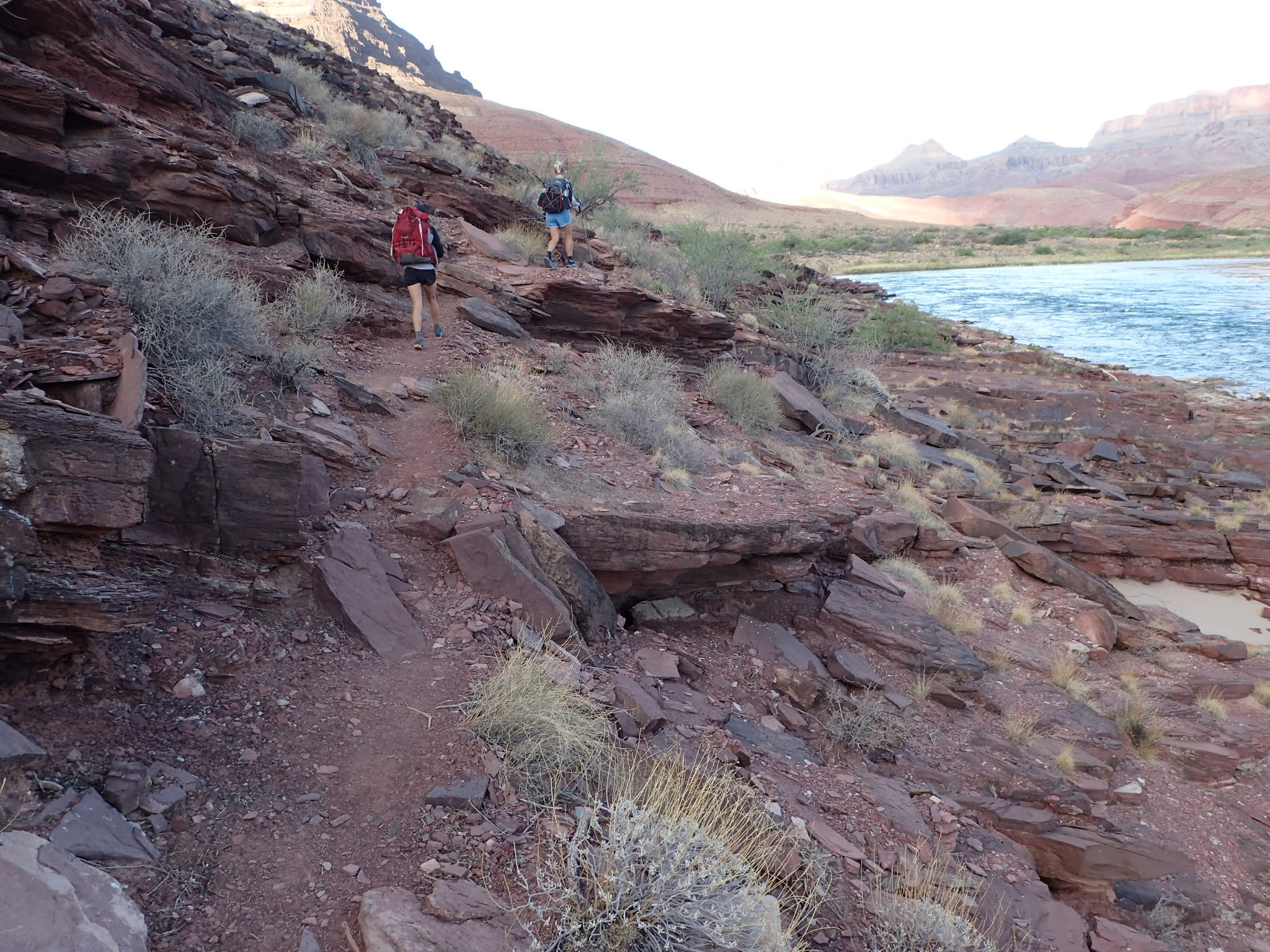
Off we go
The first couple of miles today would be along the river, then we'd head up (and up, and up) away from the river for about 7 miles. It was going to be warm so we needed to filter a bunch of water before leaving the river. When we got to Cardenas beach the boat that we saw go down the rapids the previous night was there - they had camped there over night. One of the guys from the crew offered to take our trash - which was really nice. Unfortunately when we saw their boat floating down the river about an hour later that led to Nancy referring to it as the "trash barge". I'm sure it was meant in the best way.

Fill up with water

Say goodbye to water for a while


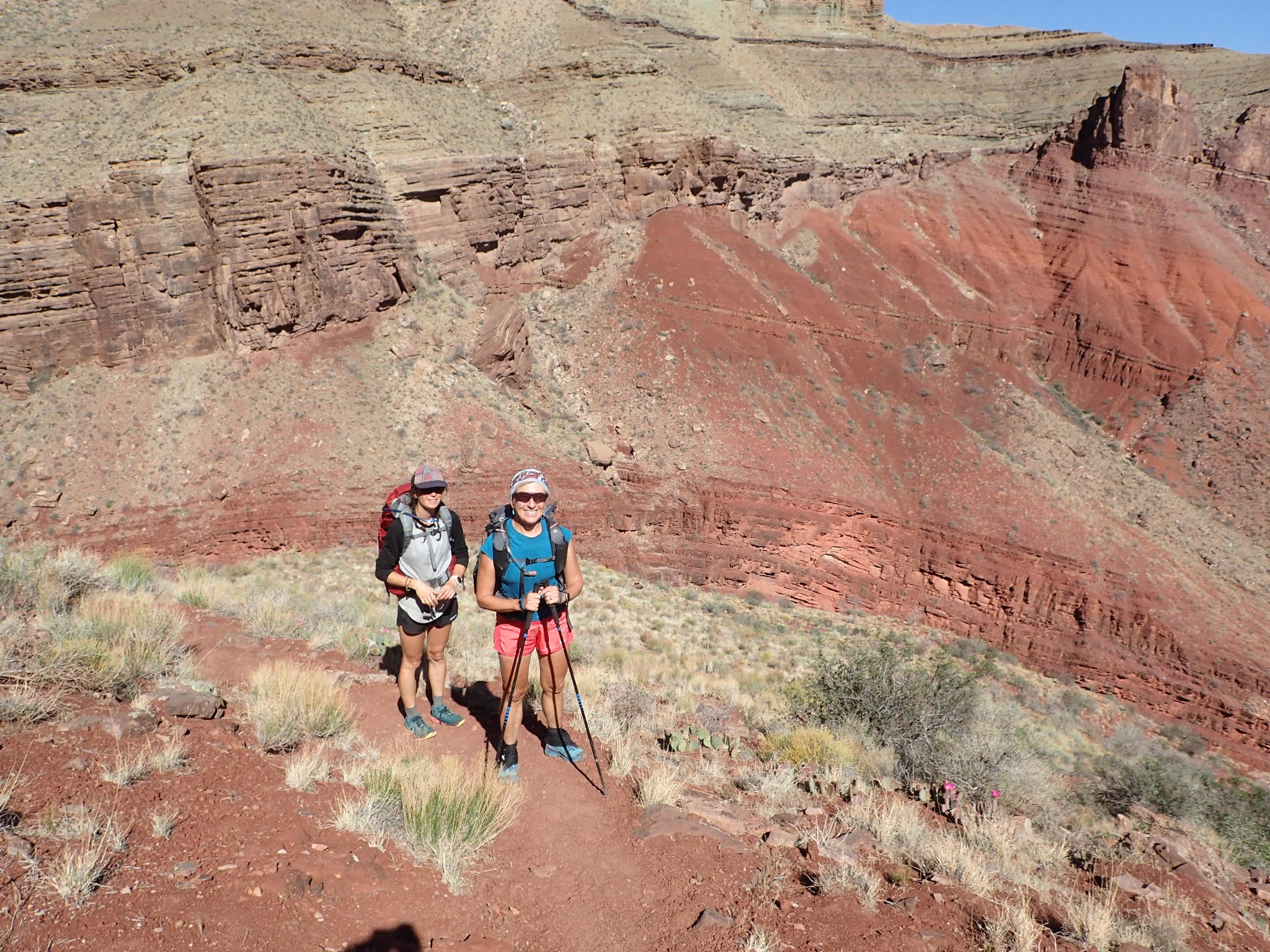
These two are always smiling

The trash barge is down there somewhere

There is no easy way down river here, so up we go


Plenty of sketchy sections of trail

and lots of climbing


Far from the river

Step carefully


Break time

You can see how the cliffs along the river made it necessary to go up here

Not many flowers this year, but we enjoyed the ones we saw


Our destination is down at those rapids
 Time to head back toward the river

The trail took us almost to the river, but then we had to go back inland along 75 mile canyon to where we could drop into the canyon, then walk down the canyon to the river. Our initial plan was to camp at the beach at 75 mile canyon. However, if that area didn't look good we'd go down about a mile to the beach at Papago. There is a smaller beach there, but it was recommended by someone on the trail.

We need to get down there. Looks pretty deep

The beginning of 75 mile canyon. We needed to get down there

In we go


this little drop in the canyon was VERY smooth so we slid down it


Look at that


Ash chilling

Heading down the beach

and of course there are rocks

and a bunch of ledges - which were fun

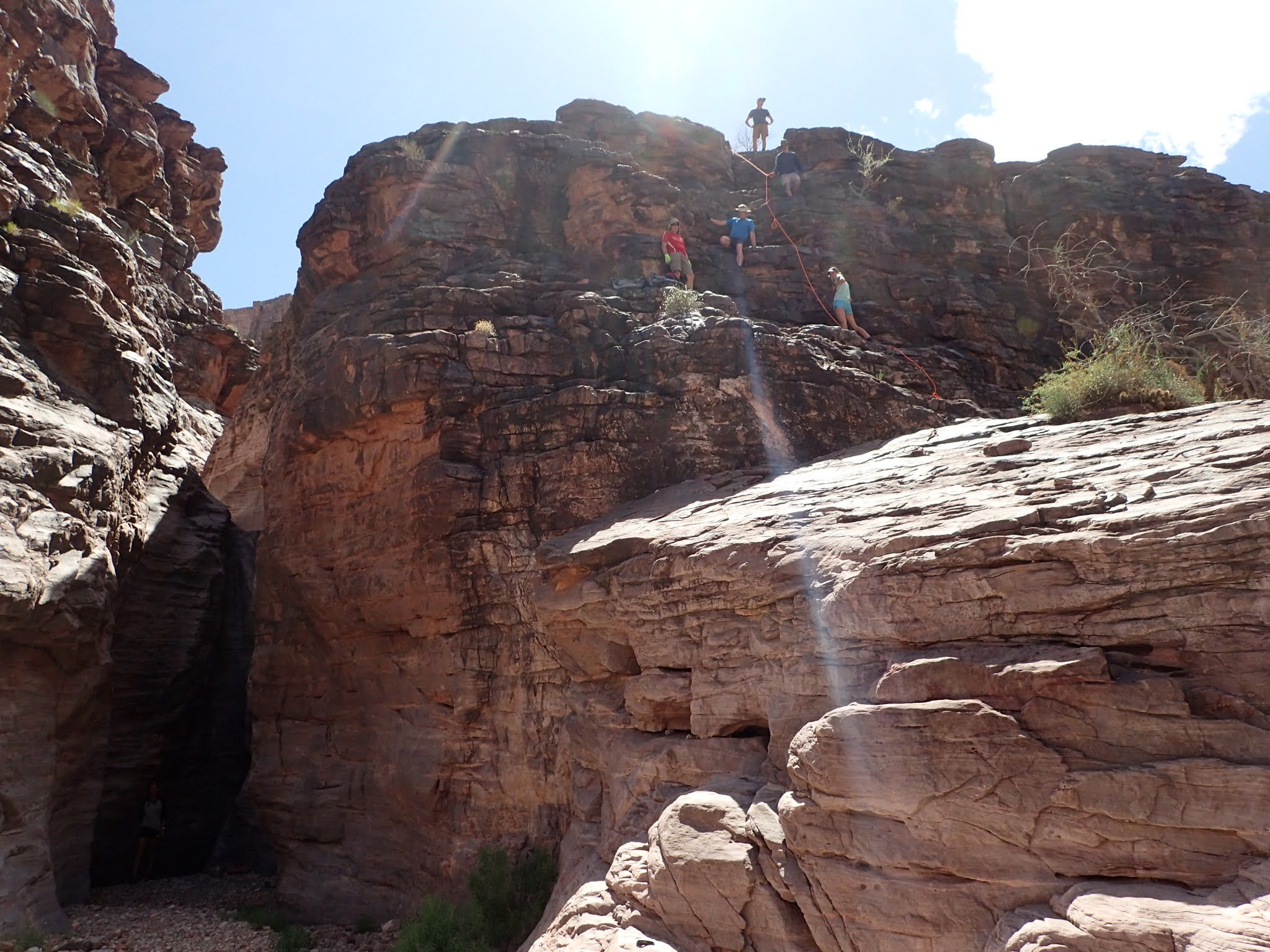
There is this wall at Papago that gets a lot of ink when you read about the hike down Escalante. It is about a 35 foot climb up a ledgy rock wall. Ropes are recommended cause you do NOT want to fall. As we eventually discovered it is climbable without ropes with packs, but more comfortable without a pack. However, ropes are a good idea for descending. When we got to the wall there was a group of 6 descending with ropes, so we got to see how that went.


It was another pretty warm day and the water at the beach was soooo appealing Ash and I decided we were going to get soaked. However, the water was so cold that it was painful to stand in for more than a few seconds. This led to a bunch of "you first" between the two of us. Finally, Nancy just walked in, sat down, and laid back in the water - making us look really wimpy. After that we had to get in. It was shocking, but refreshing.

Siesta

We spent most of the day hanging out on our beach
Day 2 ended up being 11 miles and 2300 feet of climbing. It was another really great day.


Freeze dried biscuits and gravy for breakfast. It was "interesting".

And Ash with her healthy Picky Oats #pickybars
Day 3 started out with "the wall". I headed up first and got almost to the top but then found that last ledge to be a bit much. I was getting ready to take off my pack and figure out how to get it up there when Ash found a better route up. I handed her my pack and took her route. Nancy came up pretty much the same way.

The wall looms

Here they come


Easy does it

"What? More climbing to do?"

Tight squeeze

and going up still

Hance beach is where the sun and shadow meet. We head toward the rim from there

Going back down toward the river was super sketchy


Loose and steep. Watch every step


Yay, no falls

Fill up with water for the big climb out.

Still smiling. Do I love (or not) happy campers?

This started out with a bit of a slog up Red canyon
Soon enough we started aggressively climbing

Our destination is up that valley


Gaining altitude (again)


Break time

Sketchy sections? of course


A bit of natural beauty while I catch my breath

Yeah, I'm coming.

Up...

...and up...

...and never ending up.

and high effort climbing

Oh yeah. We made it!

A view back down to where we were
