ordeal
noun
- any extremely severe or trying test, experience, or trial.
- a primitive form of trial to determine guilt or innocence by subjecting the accused person to fire, poison, or other serious danger, the result being regarded as a divine or preternatural judgment.
- Climbing Mt. Ord after riding 31 miles (and 5180 feet of climbing).
It always seems to start with an email or text from John. "I came up with this route - wanna go check it out?" For some reason I rarely have the good sense to say no. The latest was a loop that he had done before which included a climb up to the Gold Ridge trail. But then he grafted on a loop up Mt Ord, which none of us had done. Both Nancy and I have been wanting to drive up to the top of Mount Ord and see the view. So, why not go for a ride up there?
There was this follow up email from John. Something about bringing loppers for the Gold Ridge trail. I figure he was just being funny. I should know better.
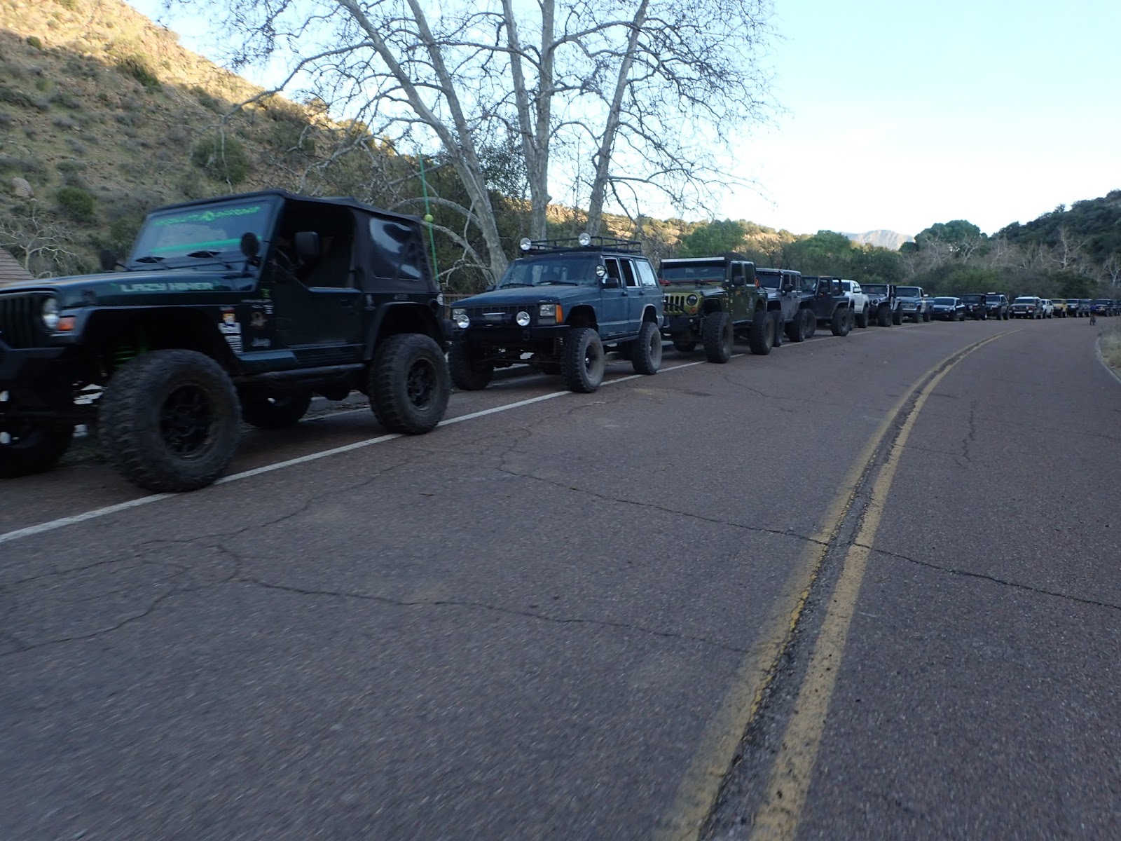
Since it was forecasted to be pretty warm we decided to meet at 7am. Turns out that was a good decision since the day ended up a bit longer than we expected. Interestingly enough, we could see the final summit of the day (Mt. Ord) from where we met in Sunflower.

Mt. Ord in the background. Are you really bringing loppers ??
We had a short (and very chilly) downhill to get to the very small section of passage 21 of the Arizona Trail that we would start on. The trail turned out to meet my expectations - barely rideable and immediate hike a bike. Looked like horses got good use out of this section though.

Easy stream crossing
Soon enough we passed under Hwy 87 and on to Passage 22. When I had asked John about this passage he said it was a good representative of AZT - some good, some bad, some ugly. That turned out to be accurate.


Under the highway

Good

Bad

Ugly
Overall, this was a pretty good section. Really nice views and some pretty good trail. It wouldn't take much to make the bad sections better.

and more good

An old AZT sign on a tree

These signs are pretty rare - but very cool. Close to the halfway mark of the AZT

Nice section near a creek

Some horses out enjoying the day
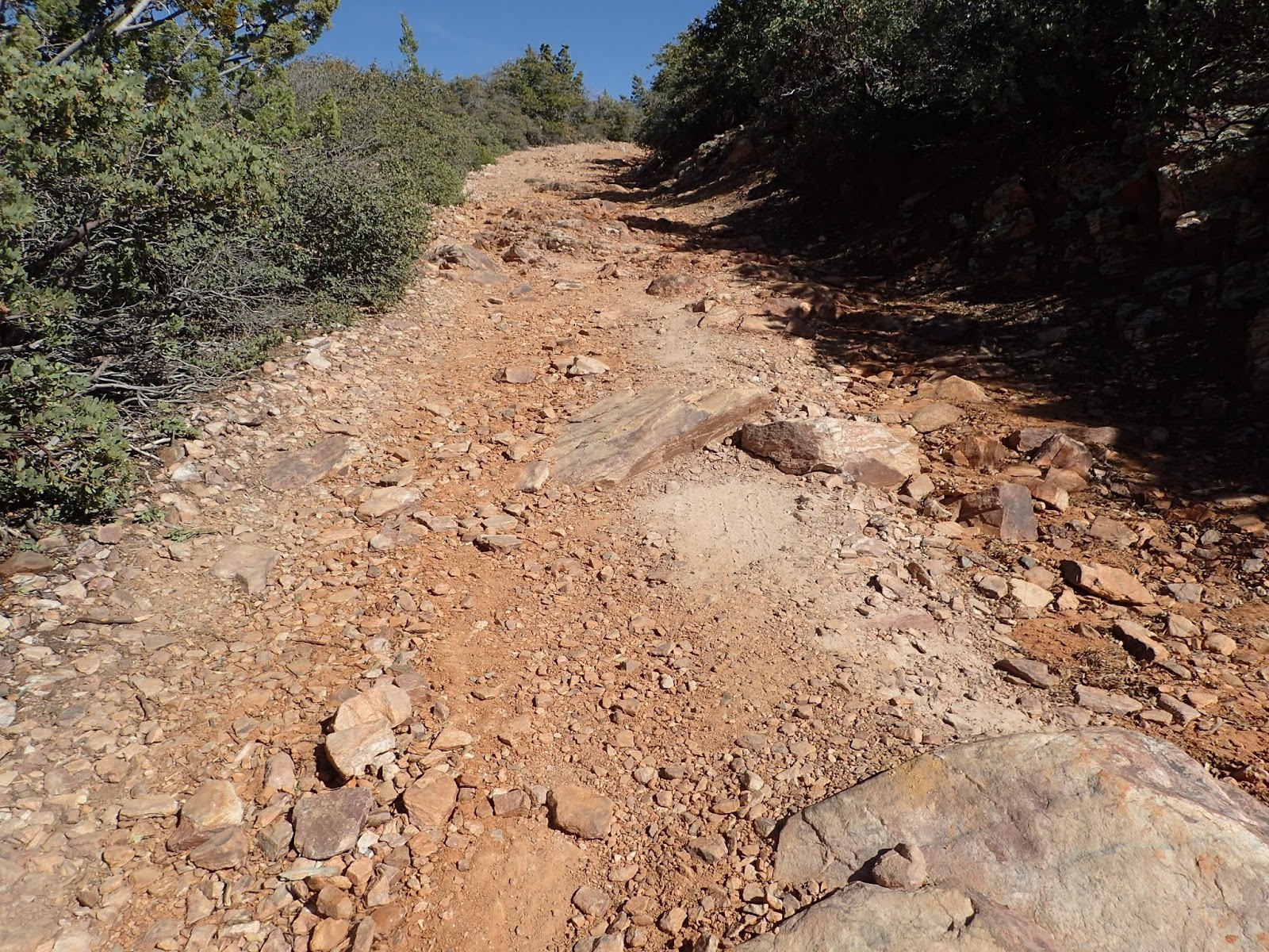
We eventually dumped off of the AZT and onto the old Beeline Highway. Not much traffic here since the road no longer goes through. We climbed up to the turnoff onto 201 (dirt road) which would take us all the way up (1800 feet of climbing) to the start of the Gold Ridge trail head. So, time to grind it out.

beautiful day, great scenery, climbing - what's not to like?


This was my view for most of the climb

Yeah, we still have a big descent and then a climb up that mountain

Fortunately the road was in good shape and the grade was not bad

No idea what this was about - in the middle of the road

Will it never end??

Finally, the top of the climb!

Cool colors in this rock
We stopped for some food at the beginning of the Gold Ridge trail. In theory we had like 6 miles of downhill ahead of us. Should be cake, right?

Trail looks good from here

Time to enjoy some downhill

Hey, wait, that's not downhill
Back to the preride discussion about bringing loppers, and the fact that John actually brought some. The beginning of this trail was just fine so I didn't think much about it. However, bushes started crowding the trail as we went down. Then the Manzanita started showing up and getting annoying. Then it just got ridiculous. The trail was so overgrown with Manzanita that it was taking a toll on the skin on our legs. Wish I had brought shin guards.

not too bad...

ummm, this is getting stupid

help!
Finally we pushed our way out of the jungle. That section would have been really nice without the ridiculous amount of vegetation. Now we started heading down in earnest. Unfortunately some of these sections of trail were just straight down - which rarely works out well. There was a bit of the dreaded downhill hike a bike. Then there were the sections that were dicey, but rideable. Fortunately, no crashes.

Heading down

Nothing worse than walking DOWNHILL

I've got this...

Red, blue, yellow - nice

Down to the fast, open stuff

wahooooo
Down at the bottom of the trail, we jumped onto Hwy 87 for a bit, then off to a dirt road that John "drew the track in" on Topofusion. What that means is that this section was based on looking at satellite imagery of the area. The generally works out OK, but you can't see details, so there are often surprises. While the dirt road turned out really good, we did run into a wash which we needed to cross that was a bit challenging.

this didn't show up on the satellite...

We handed bikes down

and back up.
A ways down we crossed under Hwy 87 through a culvert. Visited with bigfoot - who has been there for quite a while.


After another short stint down the highway we were at the start of the final climb of the day. Time for a fuel break. This was the "back way" up the mountain. There is another dirt road up on the other side of the mountain, which most people take. This road would intersect with the main one a little over half way up. We were not sure what to expect as far as grade or road quality. We knew that we were currently at 3200 feet and the top was at 7100 feet. Rather daunting, but the only way to finish is to start.

Time to get going
The climb started out with a moderate grade and the road was in OK condition. There was even a little bit of shade here and there - which was nice given that it had warmed up considerably. However, as we climbed, the grade turned up a bit and the road condition deteriorated a bit. The combination of heat, long day, increased grade, and decreased road condition made this a real struggle for me. Probably should have gone with 32x21 instead of 32x19. I ended up walking really long stretches and was not feeling well. Nancy just took off (as usual) and I didn't see her until we joined up with the main road. John and I went back and forth, but he eventually left me in the dust as well. Tough climb after a long day.
ugh
All things eventually come to an end and I finally made it to where we join up with the main road. John and Nancy had waited here for me.The climb was far from over, but at least the road surface was better and the grade was slightly less. I could actually ride most of this.

and there goes Nancy...

We could see Roosevelt lake in the distance as we climbed
We reached a point where the road was blocked and some folks were parked. There were signs there which made is seem like we should not proceed up the road. There was some debate about whether to just go up or not. So we went to the lookout at this parking lot and were more or less resigned to not reaching the top. Took some pics, identified some far off landmarks, and marveled at how far we could see. When we walked back to the parking area, some people had shown up. They had walked up the road and no one was up there to say they couldn't. Well shoot, we have to do it. No way we could come this far, and not reach the top. On we went.

Are we authorized??

View from the lower parking lot

Bartlett lake on the right in the distance

good times

The final push to the top
Really glad we did that last bit. The views were stunning and expansive. Top of the world. Interestingly, there id a bunch of communications equipment up there, with no security. Seems like someone could knock out a lot of cell phones and other stuff if they were so inclined.

Roosevelt lake on the left, 4 peaks on the right

Hell yeah!

Fire tower

My GPS said we had 1.5 hours until sundown, so time to head out. The way down would probably be somewhat quicker...

The reward for the climb

it was quite fun bombing down this road

final stretch down old Beeline Highway
They were pretty serious about this road being closed. We went over 4 different barriers on our way down the road.

We rolled through Sunflower and back to the cars. It was still light - but not by much. We ended up being out 11 hours - yikes. One of the toughest rides I've done in a while - but it was totally worth doing. Only 53 miles, but a little over 9000 feet of climbing. Or you could say that there were really only 2 climbs for the day - how hard could it be? Another great ride, in the bag.

GPX file here
No comments:
Post a Comment