A couple of years ago our friend John brought to my attention a couple of connected bikepacking loops down in southern Arizona – Sky Islands East and Sky Islands West. Nancy and I have not seen much of that part of the state, so I was immediately interested. However, plans did not match up and John ended up doing the Sky Islands East Loop on his own. Nancy and I caught up a year later to do the same (click on list for our Sky Islands East Loop adventure story).
When John sent out email looking for companions to do the West loop, we were IN. It turned out that some friends we hadn't see in quite a while, Shannon and Beto, were also game. So the five of us set out to do this route (that is recommended to be done in 4-5 days) in 3 days. Why? 'Cause this was John's plan, and he doesn't understand the word "easy." :-)
Forecast for the area called for 20-25mph winds on the first day and maybe rain that night. But given that we were going to be sleeping far from any populated areas, we were not sure how much to trust forecasts. So we didn't pay much attention to this. Turns out this came back to bite Shannon and Beto...keep reading...
Day 1
We started off bright and early-ish on Friday morning from Patagonia. Which, btw, is a pretty cool little town. Worth a visit. Here's a plug for the breakfasts at Gathering Grounds. This is a great place to fuel up. The day started with almost 19 miles of climbing. However, the first 10ish miles of climbing went pretty quick as the grade was not bad, we were sorta in a canyon - mostly protected from the wind, and we had lots of catching up to do.
TerraSol is a great place to leave your car for this sort of thing
ready to roll!
a little pavement to start things off
and now on dirt
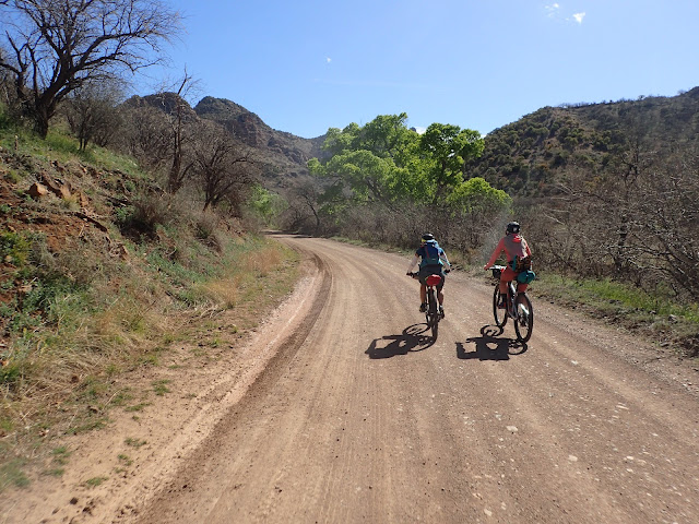
Nancy and Shannon checking out the very green tree
Water was running in Harshaw Creek
Beto and John lagging wayyyy behind the gals
They are still leading us guys
As we topped out and headed west we felt the full force of the winds and the 40mph gusts.
this is where we topped out and headed into the wind
primitive road "oh, no"!
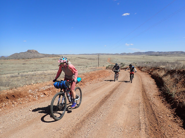
I love these high desert grassland prairies
Shannon cranking into the wind
One of very few gates we encountered
It was great to see so many creeks flowing. We've had a pretty rainy year.
Assume the position. John getting into the swing of things with some hike-a-bike. This is certainly not the last of that.
Shannon wanted someone to go THROUGH the puddle. None of us were willing. So, instead she is waiting for John to fall in. No luck.
and we all got into the hike-a-bike spirit
having fun - as always
Finally reached the top of the first 19ish miles of climbing. Spirits are high.
a snack before the descent
and down we go!
Nancy making quick work of it
Go Beto!
Had to stop and check out the rad view
cool switchback pic
such a fun descent
and on it goes...
After the dramatic descent the road mellowed out, but still headed down out of the mountains.
nice, fast rolling
leaving the hills behind - for now
fortunately we didn't have to filter water, but this would be a possible spot
the most common wildlife in the AZ backcountry
John taking a picture of me taking a picture of him
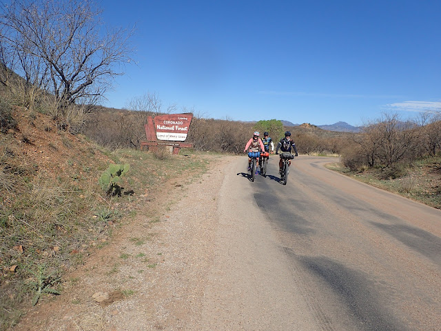
going out of the Coronado National Forest - for now
Once we exhausted the dirt road we hit pavement for a while. The winds were still blowing strong, but we managed to get a tailwind for a bit. That was nice. What wasn't so nice was the final couple of uphills before we got to the freeway and the big truck stop with a Wendy's. Time for some heavy duty calorie loading.
It was John's birthday. Shannon supplied the candle.
The truck stop was the last potable water until Arivaca, so we filled up - making packs really heavy. We had to carry water for the rest of the day, dinner, breakfast and half of the next day. Oh, and we'd be heading back into hills.
The most dangerous part of the ride.
A huge field of poppies. Flowers were booming due to all the rain in the last month
it may look easy, but we had switched to heavy headwind at this point
taking a rest at the top of a climb
yep, back in the hills
John grinding out the climb
taking the turn onto a road less travelled
back on dirt
A reminder about what part of the state we are in. We were <5 miles from the border.
cool rock formations
This reminded us of Devils Tower from Close Encounters
and more interesting scenery
going up
and back down
The dirt road did a whole lot of climbing and descending. We were all feeling pretty shelled from the long day at this point. John had specced out 2 possible places for us to camp and I had suggested one more further on if we were making good time and feeling strong. Neither was the case so we opted for the very first option. Beto and Nancy scouted out a place to call home for the night that was off the road. It included crossing a little creek, but worked well.
Yes, Nancy and I brought chairs. Only about 1 pound, but so worth it at the end of a long day.
Day 1 ended with 56 miles and 4800 feet of climbing. It felt harder than that. We were all just too tired to do a fire so we just packed it in not too long after dark.
Day 2
When bikepacking, just like backpacking, you want to travel as light as possible since you need to carry everything. Nancy and I almost always take our tent, cause Nancy likes the privacy and warmth of it. John usually cowboy camps (no tent or bivy). However, he had determined that there was a likelihood of rain so brough a bivy. Shannon and Beto travelled super light, with just a little plastic sheet - just in case. That was a decision that would prove to be suboptimal since it started raining some time in the night. It was a fairly light rain, that I kept thinking would just pass over - but it hung around for a while.
Next morning Shannon and Beto were quite soggy. That, in addition to some physical issues caused them to decide to head back to Patagonia rather than continue on. So we were down to three. Nancy, John, and I were bummed to lose them, but glad we got a day to ride together.
my camera spent the night in the rain, so it was soggy
heading out into another sunny day
John is in the middle there, but you really need to squint
a fun downhill section
One of the places we wanted to check out was the "ghost town" of
Ruby. Apparently it is an old mining town that is now owned by some folks who charge $15 just to come in and look around. They request that you make a reservation ahead of time. I did that on Thursday, but they didn't get back to me until Friday, when we were already riding. When we got there the gate was locked and no one around. Turned out the email I got while we were riding had a combo to the gate. However, it would turn out that this was a blessing - since we barely made it to that night's camp spot before dark. Had we done this tour we would have ended up night riding - which I didn't really want to do.
the entrance to Ruby
back on the road
We were surprised to hit pavement again. That tower had cameras on it. Big brother was watching.
We can kinda see Arivaca in the distance. Hoping for some food and drink.
My favorite sign
short hill into Arivaca
Arivaca is a very small town pretty much in the middle of nowhere. I wasn't sure what to expect. I hoped there would be something open where we could get a bunch of calories. Turns out the town was hopping. They had a modest farmers market going on the one main street and both the restaurant and mercantile store were open. In addition, there were a bunch of tourists. A big group of road bikers showed up as well. Apparently they rode in from Green Valley - which is not all that far on pavement. It was a pretty cool little town.
We had really good burgers at La Gitana Cantina. I like their style.
If I wasn't riding I would definitely picked up some of the tamales.
Small, but does the trick
I'm guessing this is the most activity this town sees.
After Arivaca we were back on the road toward
Buenos Aires. Not that one, this one is the wildlife refuge in AZ. After a bit of climbing out of town, the road trended downhill to Buenos Aires
yep, plenty of flowers
back on dirt
Flowers still doing their thing
Nancy's tire got pretty squooshy. We added sealant and pumped it back up.
For some reason they love to run trails and roads right down washes in AZ. Sure it doesn't rain often, but when it does this will be immediately under water.
We saw a whole lot of this. Surprising to see this much water out here.
There are a few jaguars out in this part of AZ/Mexico. They are rare and dang, they are big.
Potable water is sooo valuable out here. This was our last chance at that until the next day. So, fill up that bladder.
This was a nice place to get some food and rest and enjoy the sunshine.
Unfortunately, we couldn't hang out here for too long. Our first day was a little shorter than expected and we had a VERY big climb on the last day, so we had a certain point that we wanted to get to today. That meant a ~70 mile day. From here we would head north through flatlands for about 18 miles. We should make good time, but the road back east would turn out to be a little slower going.
put the hammer down!
These plains were not covered by grass like a lot of the high desert prarie. It was different from any other area I've seen in AZ
interesting fence
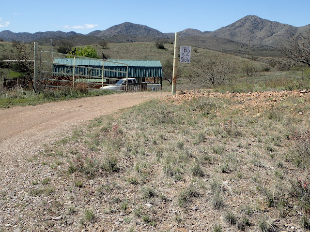
We came upon the structure with a water tank next to it soon after turning east. It is an oddity. The water is supposedly a humanitarian water source. On one hand it is clearly meant to provide water since there is a little faucet sticking out of the fence. However there is a sign that says not to drink the water. I'm guessing that it would be best to filter the water. But how likely is it that the folks using this would also carry a filter?
No idea what this structure would have been
pretty flat out here.
The ride east is interrupted for about a mile. Apparently someone owns the property where the road used to go straight through. Now you have to make a 7 mile detour around their property. And the detour is a pretty crummy dirt road for half of that. Our stopping place for the night was half way through the detour. We did make it in daylight, but with very little to spare.
We ended the day with 69 miles and 3750 feet of climbing. It was another really tough day - mostly due to the miles. As we were hanging out in the dark, trying to stay up until 8pm, we saw what we thought was a helicopter shining a light on a nearby hill. However, the light got longer and longer and looked more like a comet. We were pretty mystified and threw out all kinds of crazy options. I thought of SpaceX since they are in California (and we were looking west). Turns out
it was SpaceX - launching some satellites. Pretty cool way to end John's birthday.
Day 3
Hoo boy, the night was quite chilly. We woke up to frost on our stuff and the water in my hydration hose was frozen.
frosty
no one wants to brave the cold
Thankfully the day started out trending downhill toward the freeway and our last resupply at Amado. We knew that after the freeway was a nice little 16 mile climb of about 3000 feet elevation gain. Fun times.
always love to see fields of Ocotillo
Those are not the hills we are headed to
There is the property that caused us an extra 6 miles of riding
John doing what he does
Nancy's tire still not acting right
Nancy rolling through the border patrol station
The obligatory Longhorn Grill pic. Sadly, they were not yet open.
The Cow Palace had seen better days. We settled for a convenience store for breakfast. Not great, but it would have to do.
cross under the highway and start to climb
Those are the mountains we are headed to
a moto shows us how it is done
looking back after gaining some elevation
We were way over there yesterday
And now for a little downhill
I failed to make the big splash John was waiting for
fun, fast rolling
and then there is this
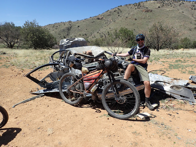
An Olds Aurora met it's fate up here. No idea how they even got it up there.
Would you buy a used car from this guy?
Arizonan's love to shoot stuff
back to riding
Cool little adobe structure. It has great views...
on we roll
top of the last hill????
down we go!
Got a little more green close to Patagonia
Pretty nice for a public bathroom
worth stopping at
This is how you end a big ride
Last day was the easiest - despite the big climb. 51 miles and 4400 feet of climbing.

I stole a bunch of these photos from John. You can read his version
here.











Finally got around to reading this one over a cup of coffee. Wish I could have made it out there. Looks rad!
ReplyDelete