Wednesday, February 19, 2014

24 Hours in the Old Pueblo

I'm not a big fan of paying someone for the privilege of riding my bike in circles. However, a number of friends were doing the 24 Hours in the Old Pueblo, and Nancy wanted to do it as a duo with me. Since I can deny her nothing, off went the registration form and a check. 

I've done a few 24 hour races - but that was long ago, back in PA, and part of a 4 person team (Old n' Dirty). I'd never done a duo, so this would be interesting.

As the date for the race approached we had a little added drama, to make things interesting. Nancy has been riding the same mountain bike since 2001 and has been talking for years about getting a new one. She finally got the funds together in the last few months and has been demoing various bikes - trying to find "the one". There were a couple of false starts, but she finally decided on a bike. As it turned out, that decision came about 2 weeks before the race. So, could we get the bike delivered and set up in time to make the 24HOP it's coming out party?

After much discussion and decision making about parts, it was arranged to have the built bike and a few additional parts delivered on the Tuesday before the race. Unfortunately, the folks who sold and built the bike did a really poor job of quality assurance. As I started putting things together a number of issues came up. The bike had the wrong dropouts, the wrong bottom bracket, the wrong lockring for the front brake rotor, and two different brakes. Nancy spent quite a bit of time on the phone arranging overnight delivery of the correct components. We finally got things mostly sorted out Thursday night (with some help from Spencer at Flat Tire Bikes) in time to do a 50 minute shakedown ride. Next ride would be at the race venue.

Here is Nancy's new, 18.5 pound, magic bike before it got ridden and got dirty. It is complete except for the rear skewer, which didn't arrive until after the race.  Post race, Nancy reports that the new bike is "awesome". I wonder if that plastic frame will last another 13 years. 


This 24 hour race takes place in the desert outside of the town of Oracle. The nearest pavement is about 10 miles away. This non-descript spot in the desert gets turned into "24 Hour Town" for a few days each February. I'm sure the local fauna plan their vacations at that time - though I did hear a few coyotes on one of my late night laps. 

We rolled in Friday, early afternoon - thinking we'd have no problem finding a camping spot. Wrong. The place was already crowded. We bumped down some pretty bad dirt roads to get to the "tent camping" area and found a small slice of dirt to claim. This was our home for the weekend.


After camp was set up we rolled down to the vendor area to check out the food options and see what was going on.


After checking things out we rolled out to do a lap of the course. It is about 16 miles and includes dirt roads, smooth, twisty single track, not much climbing, and so much cactus. The singletrack is really fun and fast. On the whole, this is a pretty fast, easy 16 mile course.

Here is a view of "24 Hour Town" from about halfway around the course. It is pretty amazing how this remote area turns into a mini city for a few days each year. The view of this at night is really cool. The course goes around that hill and down the left side flank to the finish. Most of the white you see is RVs and campers and the like. Us tent camping folks seemed to be in the minority.


Starting the final downhill. This was so much fun to rip at full speed.

Somewhere out on the course during the preride.


Moonset with a full moon.


Somehow I got elected to start the race. Those sawhorses will be packed with bikes by start time.This event has a "Le Mans" start. That means everyone stages their bikes here. The actual start is a half mile down the dirt road. When the gun goes off we all awkwardly run to our bikes and then start riding.

The crowds waiting for the racers.

Nothing more goofy than a bunch of bikers running in bike shoes. I saw a number of people lose things (iphone, pump, etc) from their back pockets while running down the road. 


Not many pictures got taken once the race started. We were pretty focussed on the race. My one attempt at getting an action pic of Nancy failed when the camera refused to work. Grrrr.
Here is a picture of my bike before my 3 laps at night. Putting glow sticks on the wheels is something we started back in the day with team Old n' Dirty. It looks really cool when the bike starts rolling.


Here is Nancy finishing up her final lap. Notice that someone wrapped the cholla with orange tape. You do NOT want to run into that thing. The guy on the left had stopped for a beer. At this point it was about 11:30. Nancy could easily have rolled down to the starting tent to do another lap. I looked at the standings and determined that another lap would not help our team position and not doing another would not hurt. Given that it was pretty warm by this point, and another lap would mean another 1.5 hours, we made a joint decision to call this the end. Nancy rolled down to near the finish tent, where  many other people were waiting,  and waited for 12:00 to finish. The rules of this race say that you HAVE to do another lap if you finish before noon so there is always a big group of people who don't want to do another lap that wait for noon to officially finish.


We ended up 7th out of 25 Co-ed Duo teams. Not bad considering that after my first two laps we were in 14th place. We stayed consistent and moved up slowly. Unfortunately, there was no subcategory for single  speed. I'm guessing that there were few or none of the 25 teams that were SS. 

In the end it was a really good weekend of riding. It was great seeing people we knew on the course, in the campground and waiting in the start/finish tent. Nancy put in a really impressive performance. Not sure if it was the new bike or just that she was feeling really good. I was quite sore and tired at the end, but happy with the 8 laps (128 miles) that we both got.

I'll go with what I told a team mate (Martin) after my first ever 24 hour race. "No way I'm ever doing that again". I ended up doing 4 more 24 hour races with him and others after that. 


Saturday, February 1, 2014

Hawes to Gold Canyon

Nancy and I had been trying to decide all week where to ride this weekend. After last weekend's APC ride , we didn't want to go too big, but didn't want to go too small either. Hawes was suggested, but not really big enough. Same with Gold Canyon - fun, but we wanted more. So Thursday I got an email from John suggesting a shuttle ride that started at Red Rock park - west of Hawes - that went through Hawes AND Gold Canyon, ending near Peralta. Hell, why not do both? The route included Pass Mountain and connected through the Goldfield area -where we had never been. So, IN.

The day started a bit chilly. And by this year's standards, chilly is not all that chilly. We started off doing some trails out of Red Rock park. I think the area is known as TRW. Really fun stuff. Then headed off across Power road to Hawes.


Taking a break to take of the early morning chill clothes. 


Cranking along on some really fun trails. 


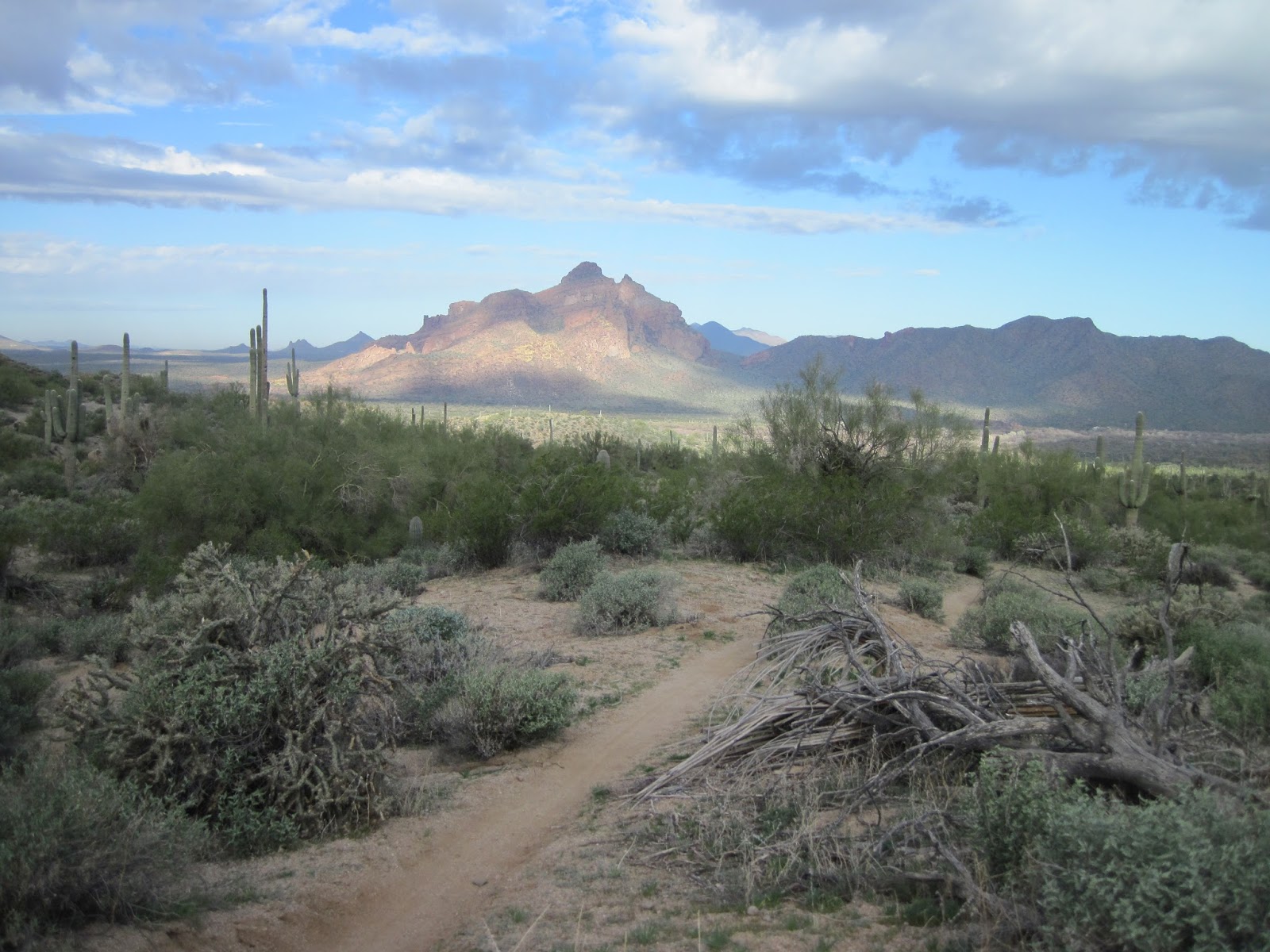
The "red rock" in the distance - looking all cool with the morning sun and clouds

Nancy enjoying the flow


After riding through Hawes, we crossed the road over to a really sandy trail that brought us into the main trail around Pass Mountain.

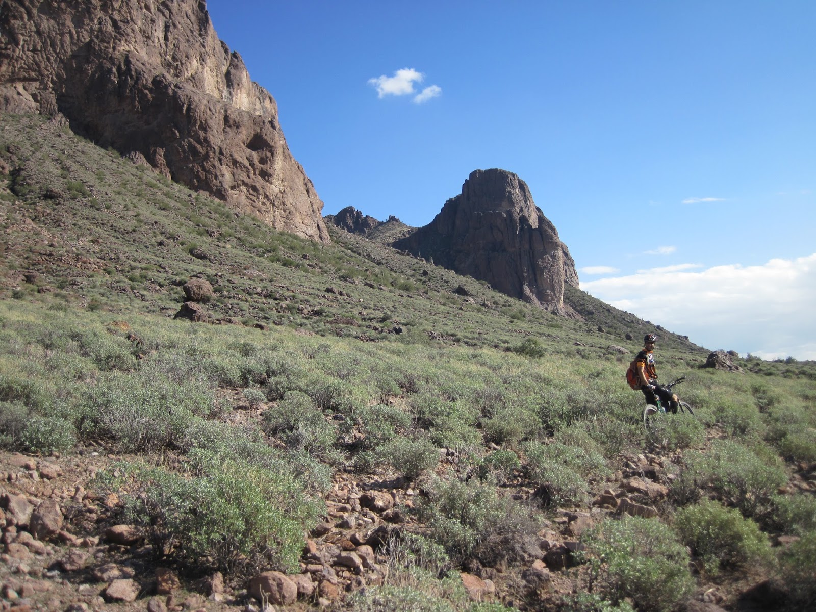
John dropping down a little rock.

Bulldog canyon in the distance


Such great views from up here


The ride wouldn't be complete without some hike-a-bike. The Pass mountain trail is happy to oblige


A little food break at the top of the pass

Time to head back down. Watch that edge!

John eyeing "the scar"


This little section of rock doesn't look like much from the pictures, but it sure is scary when you are rolling it. I made a slow, tight turn here to get down.


John setting up the shot where I go over the bars. I bailed before giving him that shot. 

You can barely make out John coming down from the pass. We were up there at the top just moments ago. 


 Out of the Pass Mountain area - heading towards Goldfields. Superstition mountains in the distance.


 In order to connect everything together, we had to hit the road though some neighborhoods. This house had a dragon on their rooftop deck.

Heading back into the hills

The dirt calls to us


Back on dirt (road)

Tons of really cool rocks out there


Rolling along


Rolling through the Goldfields area toward the Superstitions. They were a constant "presence" looming in the distance. 


A random "shed" with graffiti


Down to 88 for a little snack break at the Bluebird Mine Gift Shop.
They did me right with the hot dog. All the stuff on it and even toasted the bun. Yum. 

The, um, alternate route into Lost Dutchman state park

So this is a mountain bike trail, apparently. It was fairly smooth, but the turns were rather tight. I'm thinking not designed by a mountain biker. 

Riding the Jacob's crosscut trail. It was just techy enough to be a lot of work, but not so much that it wasn't rideable. It was just tiring. But look at that mountain in the background. Awesome. 


Lots o' saguaro in this area.


For whatever reason, I stopped taking pictures at this point.

At a certain point along Jacob's crosscut the trail started to really degrade and John said it would be bad for a while. So we dropped down to a neighborhood and wound through the streets. This detour took us under a wall and through a gated neighborhood and past some really spectacular houses. We hooked up into the Gold Canyon trail network, but didn't spend a lot of time there due to how late it was. We ended the ride with a fun little trail that paralleled Peralta road and took us back to John's car.

Another full day of riding and another great adventure completed. And although it was a wee bit colder than the year has been so far (only in the 60s), it was still a fabulous day to be out riding around the desert.


Saturday, January 18, 2014

A midwinter's ride - Passage 20 of the AZT

John sent out the call for partners on another one of his "adventures". The plan was to explore passages 19 and 20 of the Arizona Trail - at least the sections that were NOT in Wilderness Areas (off limits to bikes).

This is how John set up the ride in his email: 
"If you like fast rolling, banked turns, easy grades and an occasional rock challenge on your rides, this is NOT for you!! Trail conditions are unknown, based on what we know of the AZT, expect there to be some HAB. Probably some cat-claw too."

We've been on more than one of John's adventures, so were prepared for anything. Unfortunately schedules and the like kept a lot of folks away. Nancy and I were the only ones foolhardy enough to take the bait.

As promised, here was HAB (Hike A Bike) and a bit of cat-claw - though not as much as many trails I've been on. However, we did not make it to passage 19 - just 20. The stats for the day are indicative of the challenges presented by passage 20 - 20 miles (and less than 5000 feet of climbing) in 6 hours. Ugh. But, make no mistake, this was a loop worth doing and I'd do it again. Then there is the 1.5 hours of non-moving time - but there were pictures that needed to be taken and views that needed to be absorbed. 

The route looked like this.


So the day started out pretty chilly - down in the 30s. There was a little confusion (on my part) about the meeting place so we didn't get rolling until 8:30. 

Brrrrrr


Damn


Over the Roosevelt bridge. This bridge is really quite impressive.


Up into the hills, where we'd climb...


and climb...


and climb..


and climb.


Four Peaks getting pretty close. You can barely see Nancy in the distance - doing what she does - which is leave us on the climbs.


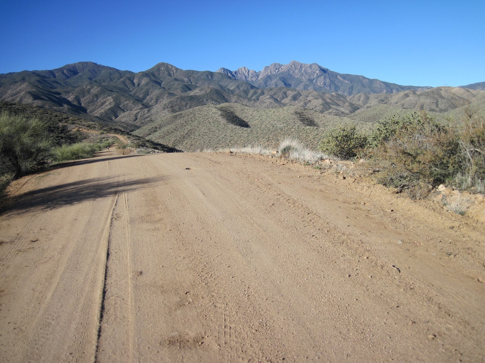
There were only a couple really steep pitches on the road and the road was in really great condition the whole way. All in all, an excellent start to the day.


We reached the AZT the Mills Ridge trail head. From here we'd do an out and back to the Wilderness boundary.


Four Peaks peaking out there in the distance.


It looks totally rideable - from here


Eh, maybe not so rideable.


The trail surface got a little less friendly on this stretch.


Another nice section of this trail. Overall it was pretty good.


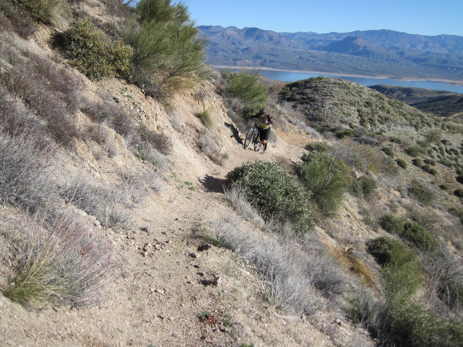
But there were a few sections that were challenging going up, but fun coming back down. You can see Apache lake peaking out in the right side there.


 Wilderness. Tell me again why bikes aren't allowed in here???


Ahh, the view.


Time to enjoy the ride back down.


Weeeee


That ridge line is where the AZT goes, after the Mills Ridge trail head.


 Back down to Mills Ridge TH. 4 peaks peaking over John.


We saw a few of these out there. Could not figure out what they were.
(Per Kurt, this is probably:  a Game and Fish trick tank. The covered area is a rainwater catchment, it fills those two tanks, and there's then probably a tiny (1x1') trough hidden somewhere just downslope)


This ridge line trail had great views and was super fun to ride. I'd put it up against Ripsey. At this point I was thinking this is an A+ loop that everyone needs to do. But it was still early...


Coming down more ridge line. So fun.


All of a sudden we came upon an area where saguaros were growing. They didn't grow above here (about 3200 feet) and weren't on any of the nearby hills. These things have very specific requirements for where they will grow. Apache lake way in the distance.


Roosevelt lake got sooo blue at mid day.


The trail started to get a little bit rocky/techy. No problem. That slows things a bit, but still riding.


Then it went up and got stupid.


Trail??


And just I was getting really irritated with the condition of the trail, we came around a corner to the best view of the day. Looking at the pictures I took makes me sad. They look awful compared to what we saw. The sun sparkling off the water made it appear to shimmer. This was a view that made all the HAB we had done worth while. Just stunning. I'm hoping that John's camera did a better job of capturing this.
So, January 18 - around 70 degrees - sunny - we're out in the middle of nowhere seeing a view that few get to experience. We just stayed there for a bit and soaked it in. It doesn't get much better than this.


Onward. The lake is getting closer - and bluer. You can see by the shoreline how low the lake is.


The interesting thing about the lake being so low is that it exposes lots of little islands.


We came upon this - still pretty high up.


We couldn't come up with any reasonable theories about what it is.
(Turns out it is a microwave reflector. Arturo says:  In areas where they don't have communication wiring and inconvenient placement for a powered repeater, they place special metallic billboards that are highly reflective in the microwave frequency range. Microwave is usually line-of-sight so you probably could have figured out where in the canyon below you the signal was coming from and where was it being bounced to. )


More lake


We are parked in the lot between the bridge and the dam. Given how high we are and how close that is, I'm thinking the trail is about to get steep.

 And it did. I didn't take pictures, but there were some really crappy fall line trail sections. Straight down the hillside, steep and rubbly - walking your bike down these sections was the intelligent thing to do, but so annoying.

Fortunately, there were some good sections mixed in.


And down to the end.


And the obligatory AZT trail sign shot.


Like I said earlier, this is a ride that is well worth doing. The only thing I'd change is to not go all the way to the wilderness boundary. That last half mile or so doesn't add a lot of value. The key to this ride is to realize that you will be doing some HAB, and to bring a camera.